
It is that time of the year to start watching the tropics. Over the past couple days the GFS and Euro have been picking up on some future tropical/sub-tropical development in the western Atlantic in the north Bahamas area. The National Hurricane Center did issue a Special Tropical Weather Outlook earlier this afternoon to begin awareness of the possibility.
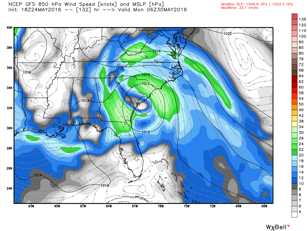
Just looked at the latest GFS which shows a system affecting the north Florida to Carolina area in the Momday time frame. This is something to watch and far from a certainty at this this point. Below shows a closed low coming into the South Carolina coast early Monday morning with this afternoon’s GFS.
I will post an update tomorrow evening. Follow @PompanoWeather for more.
Discover more from Pompano Weather
Subscribe to get the latest posts sent to your email.
