
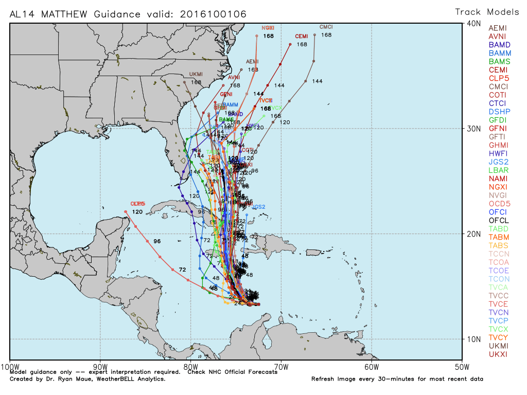
Last night Hurrivane Matthew became the first category 5 Hurricane in the Atlantic basin since 2007 with peak winds of 160mph. This morning the winds are down a touch to 155mph. It is too early to say if Matthew will directly impact south Florida but we need to keep a focus on this dangerous storm as it moves through the Carribbean this weekend. The latest NHC track brings it off the coast Wednesday/Thursday.
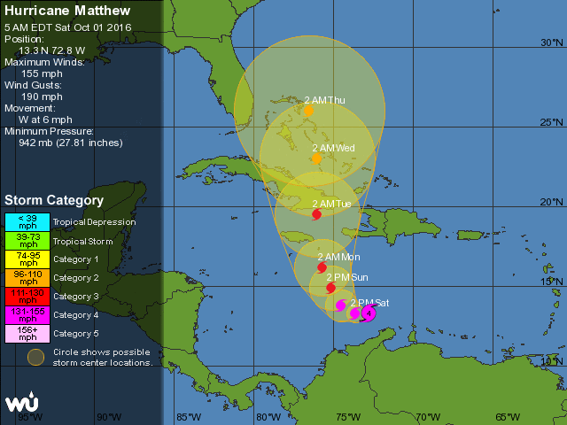
The overnight models nudged the center closer to our coast which is one of the reasons we cannot take our eyes off of this.
More updates as we go through the day on the progress. Keep an eye on my Twitter.
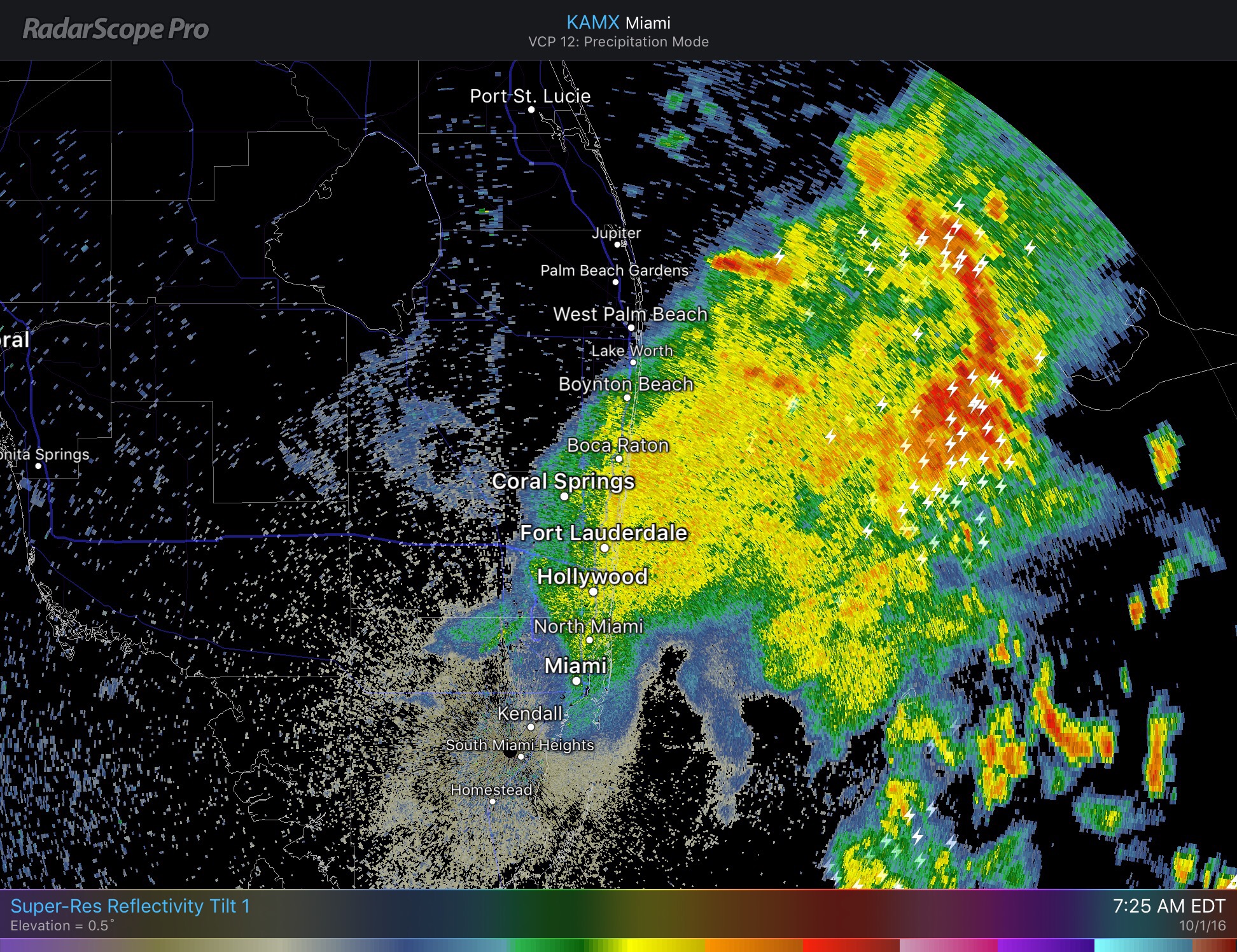
Today’s forecast: we should dry up later this morning but our rain threat will remain, especially this afternoon. Some of the afternoon thunderstorms could be strong, with locally heavy rain, gusty winds, and small hail possible. High 89F.
Latest radar looks like this:
More on Matthew later today.
Discover more from Pompano Weather
Subscribe to get the latest posts sent to your email.
