
Good morning and it appears we are on the brink of some slightly drier weather ahead for the weekend and into early next week. High pressure over the Bahamas will move west. This will not eliminate showers/thunderstorms but the coverage will be less and focus more towards the center of the state. The latest HRRR shows showers not as widespread late afternoon today.
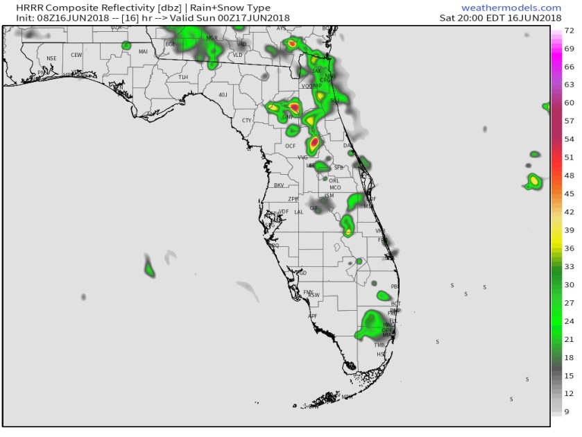
Today’s high will be 89F with our weather threats being lightning associated with the any of the storms that form and a waterspout cannot be ruled out for coastal shower activity.
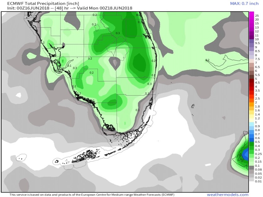
The Euro rainfall forecast for the weekend shows accusations under .5 inches for most of the area.
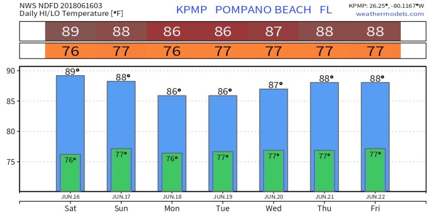
NWS highs and lows for the days ahead do not change much day-to-day.
Enjoy the day, get outside and enjoy it.
Discover more from Pompano Weather
Subscribe to get the latest posts sent to your email.
