
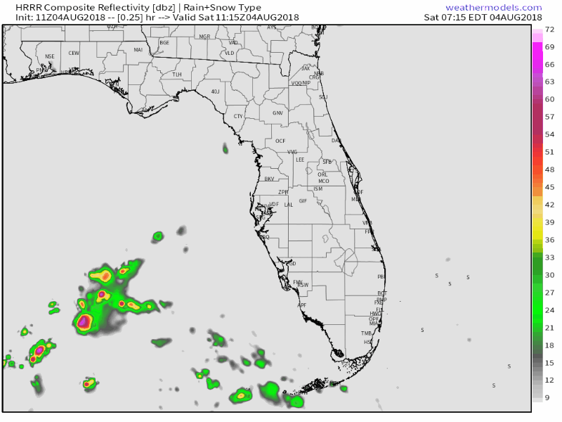
Compared to previous weekends we should see less total rain but we will see scattered showers across the area today and tomorrow on the easterly flow setup across the area. Latest HRRR depicts this pretty well.
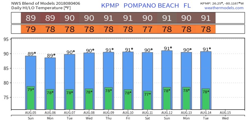
High today will be 91F and a bit breezy. The easterly wind will produce a high risk of rip currents, beach waters will be rough and I would not venture out into the water.
Nothing surprising in our temps for the week ahead, as we stay near normal throughout. Blend of models show very consistent temperatures.
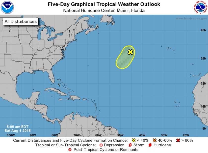
Tropics are relatively quiet, the NHC is watching an area in the mid-Atlantic which is currently non-tropical but could acquire tropical characteristics. They are giving a 20% chance of development over the next five days.
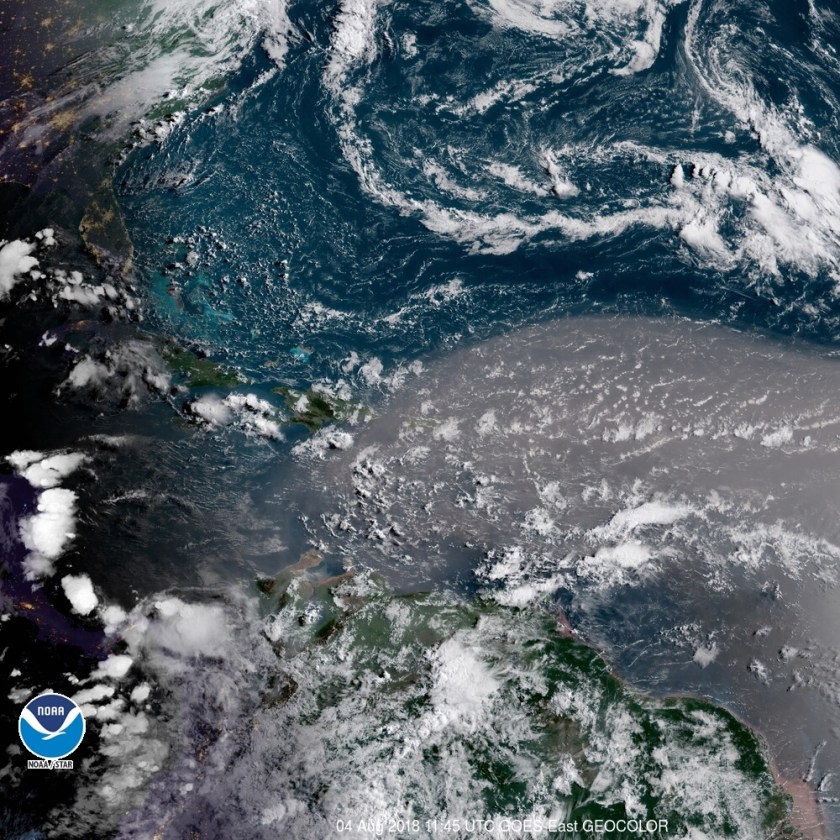
Later this week for us we may be under the influence of more Saharan dust, this is showing up very well on satellite this morning as it progresses across the Atlantic.
Enjoy the day!
Discover more from Pompano Weather
Subscribe to get the latest posts sent to your email.
