
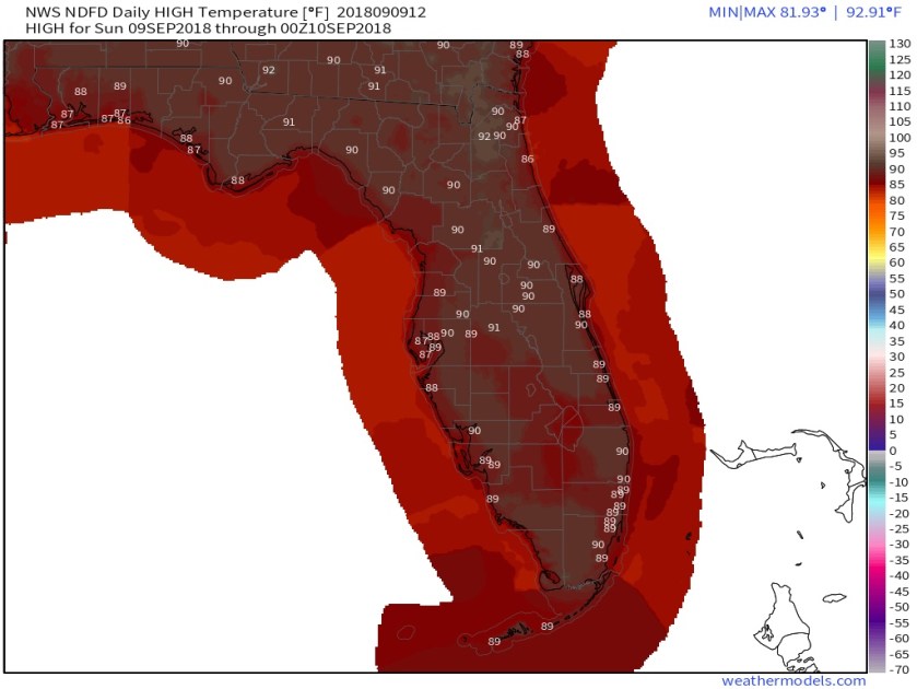
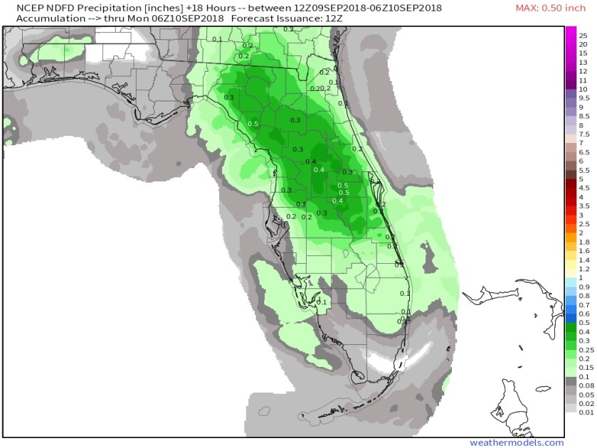
Good morning, starting off at 78F this morning ahead of another day with scattered showers and thunderstorms in our area. Not all saw rain yesterday and expect the same today. High temps today will be like yesterday, high 89F. Official NWS forecast for highs and rainfall for today.
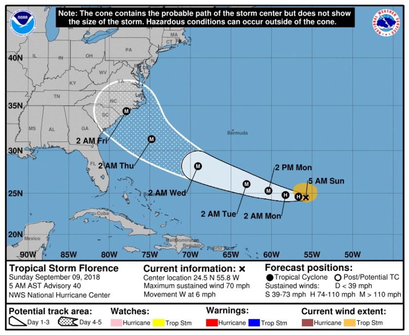
Florence…now that recon flights have sampled the storm and the area around it along with additional upper air observation from the SE US NWS offices we in south Florida can breath easier as Florence should stay well north of us and the effects we will have from Wednesday and into the weekend will be rough surf and above normal high tides. Below is the latest NHC forecast and early morning models showing very good consensus of a path towards the North Carolina coast.

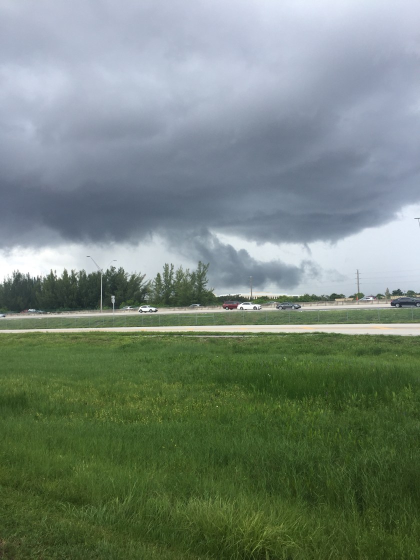
Last item this morning is a picture I took yesterday from Boca of a SLC (scary looking cloud). There was no rotation to the cloud so it was not a funnel cloud but would be more of a scud cloud. So not severe but not something you see everyday.
Enjoy your day!
Discover more from Pompano Weather
Subscribe to get the latest posts sent to your email.
