
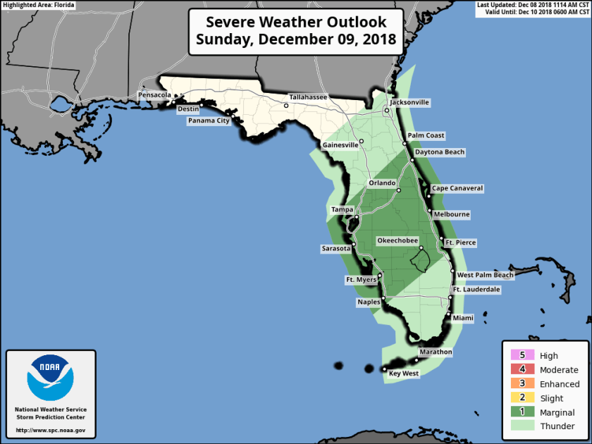
Our next front will approach and sweep through the area tomorrow afternoon. Sunday will start out fairly nice with partly cloudy skies and the wind will pick up ahead of the front. There is a better chance of severe weather to our north versus our chances in the southeast part of the state with the main threat being gusty winds and a possibility of tornadoes. This will need to be monitored as we go through the day tomorrow.
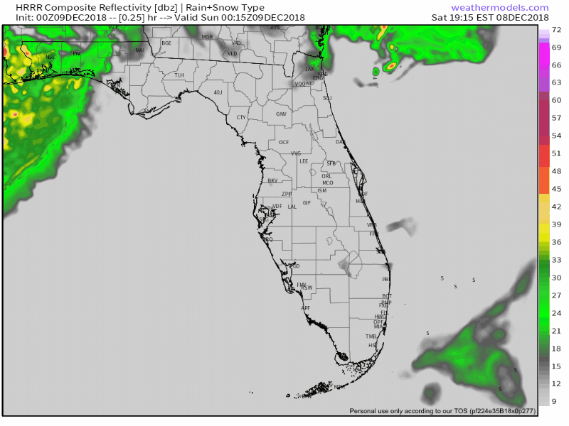
Timing for us according to the latest HRRR is late afternoon for the front to reach us and quickly move through, this is the latest simulated radar.
Before the rain sets in we will get up to 82F. Monday morning’s low should be 65F. Tuesday morning will be our coolest with a low of 53F.
I will updated tomorrow morning with the latest on our severe threat and expected timing.
Good night.
Discover more from Pompano Weather
Subscribe to get the latest posts sent to your email.
