
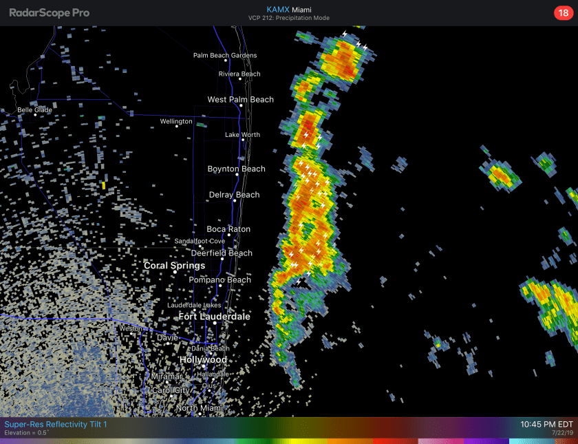
As of 11PM TD3 remains off the coast of SE Florida. Main threat from the system will be possible heavy rain which we are not seeing much of from the system. Current radar and lightning data shows a squall line off of Broward county producing thunder I am hearing Pompano.
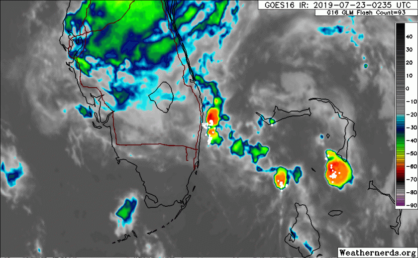
On satellite TD3’s presentation has become worse through the evening as convection has died down for now.
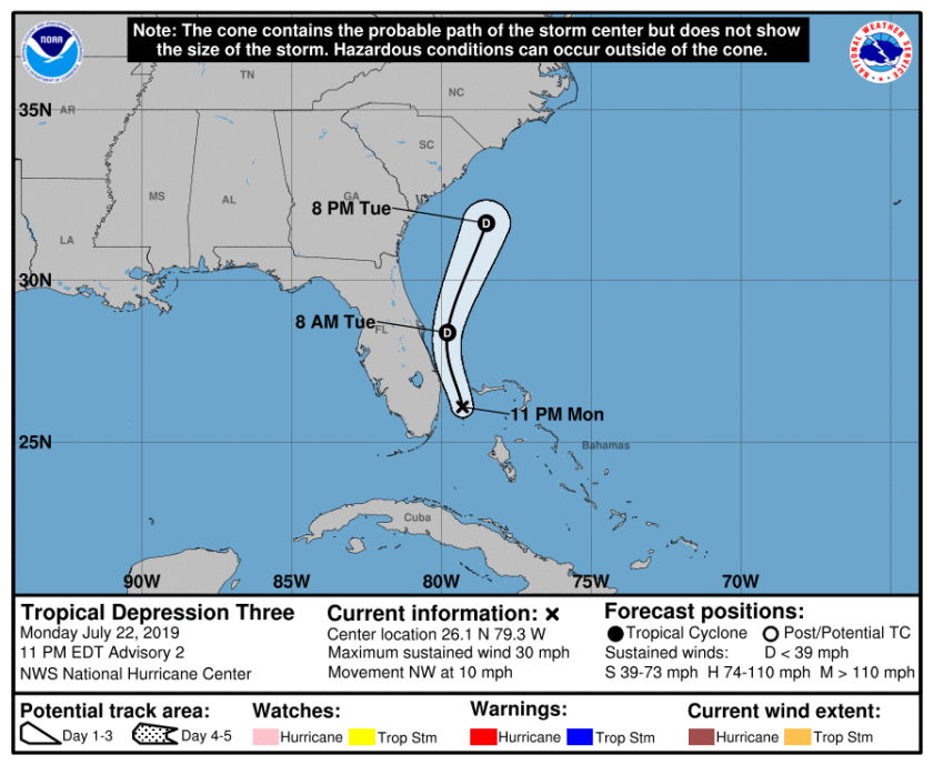
Forecast for TD3 is for not much change on the next 12 hours as it moves off towards the northwest then more towards the north tomorrow before being absorbed by a front Wednesday.
Keep an umbrella near tomorrow and if you encounter some of the heavier showers just give it some time to pass before heading out.
Follow me on Twitter for updates if they are needed.
Discover more from Pompano Weather
Subscribe to get the latest posts sent to your email.
