
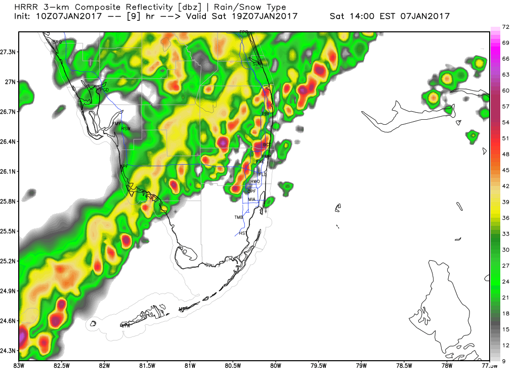
No real change to our expected weather today. Cold front is in the north/central Florida area with an area of showers and thunderstorms.
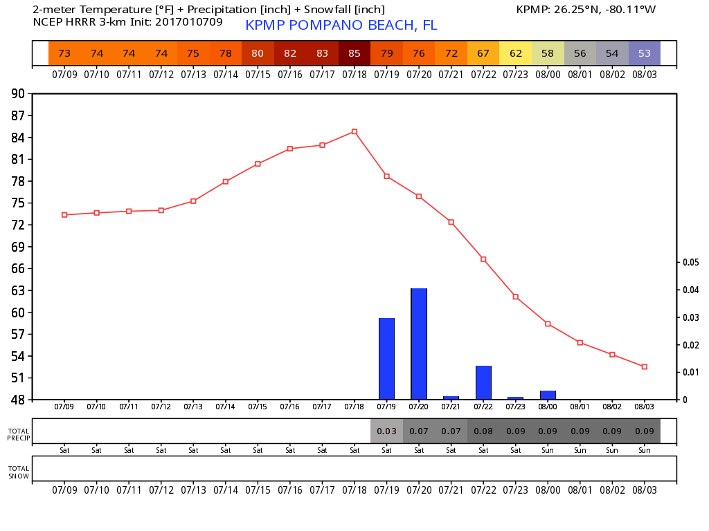
We will be warm through the morning with a high near 85F. After 12 noon we will have an increase in shower activity and possible thunderstorms through the afternoon. Then clearing and turning much cooler into the overnight hours. HRRR brings the activity in our area around 2pm.
Then a quick cool down after the passage of the front.
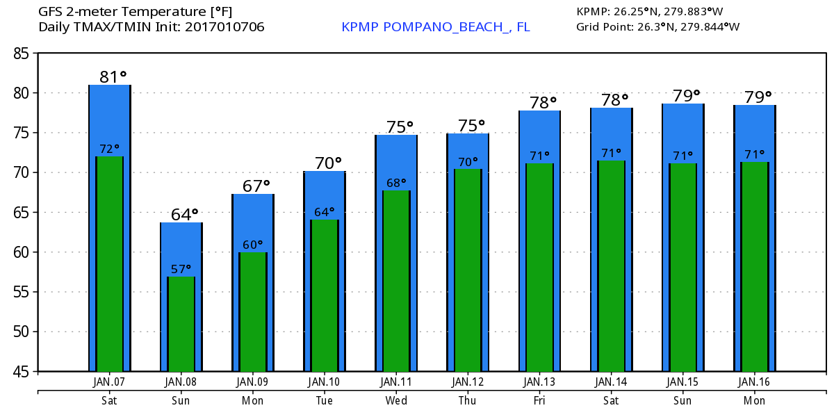
Sunday will be nice with breezy conditions and not as warm with a high of 66F. Here is the latest GFS highs and lows through next weekend:
If outside today keep an eye on the lightning and take shelter if you hear thunder.
Discover more from Pompano Weather
Subscribe to get the latest posts sent to your email.
