Plenty of rain from what became Trpical Storm Philippe yesterday across SE Florida. I recorded 8.21 inches in my CoCoRahs gauge. Some of the official rainfall totals from the NWS were not as high:
24-HOUR PRECIPITATION STORM TOTALS AS OF
________________________505 AM SUNDAY_________________________
TOP RAINFALL AMOUNTS FROM ALL ZONES
STATION PRECIP(IN) STATION ID
1. West Palm Beach Arpt 6.71 PBI
2. Pompano Beach 5.64 PMP
3. Ft. Lauderdale Exec 5.07 FXE
4. Opa-Locka Airport 2.64 OPF
5. Miles City 2.63 RKIF1
6. Ft. Lauderdale Intl 2.49 FLL
7. Miami INTL Airport 2.32 MIA
8. Ochopee 2.13 OCOF1
9. Racoon point 1.72 RACF1
10.Naples Airport 1.68 APF
We are cloudy and 70F at 7am. Skies will clear today and turning cooler this afternoon. We will see a high of 78F but b late afternoon we should be around 68F. So keep a jacket with you.
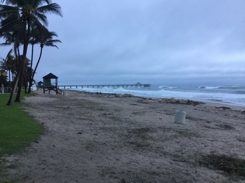
The only weather hazard is rip currents at the beaches today due to the winds, which will be between 15mph and 25mph at times. Here is Deerfield Beach from this morning where you can see how rough the surf is.

I will have an update later today with the Halloween forecast. Enjoy the day!
Discover more from Pompano Weather
Subscribe to get the latest posts sent to your email.
