
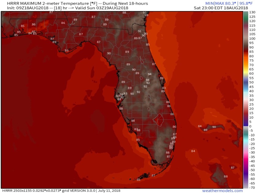
Good Morning as we start off with a couple very light, quick showers in the area. Models are hinting at our high today of sub-90F and I will agree that 89F May. It be refreshing but not the 91-92F we have seen recently. Latest highs from the HRRR for Florida.
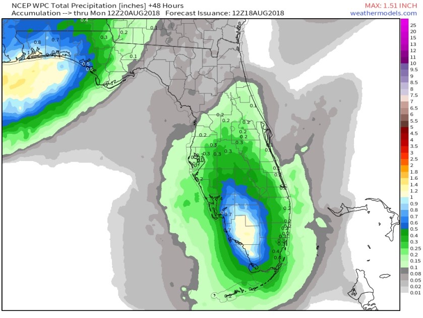
Showers will of course be around from coast to coast but the focus this weekend will be on the west coast. Some cooling in the mid-levels of the atmosphere will enhance lightning potential so when you hear thunder be ready to take cover. Forecasted precipitation amounts for the weekend.
Besides lightning, there is a moderate risk of rip currents so please be careful and swim at guarded beaches.
Tropics are quiet at the moment, the last advisory was issued on Tropical Storm Ernesto this morning and the area of disturbed weather between Africa and the Leeward Islands has lost much of its activity.
Enjoy the day!
Discover more from Pompano Weather
Subscribe to get the latest posts sent to your email.
