
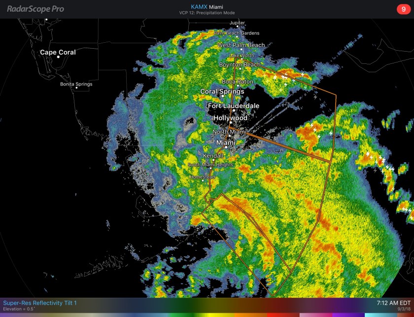
Not the nicest of days out there this morning and what will become Tropical Storm Gordon moves south of the state today. Plenty of moisture over the area with occasional thunderstorms. Current radar looks like this:
Main weather threats will be localized flooding which has lead to a Flood Watch being issued for the area through tonight. Strong wind gusts of up to 50mph and the possibility of a tornado also exists. There will also be a high risk of rip currents at the beaches today.
Rainfall amounts through tomorrow will be in the 1-3 inch range with isolated area above four inches possible.

This afternoon will be the peak of the intensity for us and we can see the mid-afternoon predictive radar being quite active.

The soon to be names storm does not hang around very long with very good model consensus that it will be well west of us by tomorrow morning. Regardless of the system name and number, rainfall could be quite heavy at times.

Rain chances will remain all week but today will be our highest daily totals.
Use caution if gong out today and certainly stay out of the ocean with the rough surf. Be safe and enjoy your day.
Discover more from Pompano Weather
Subscribe to get the latest posts sent to your email.
