
A variety of weather between now and the end of the weekend and we have time change on Sunday morning. Between now and the Saturday afternoon our temps will continue to climb a little each day with highs on Saturday around 90°.

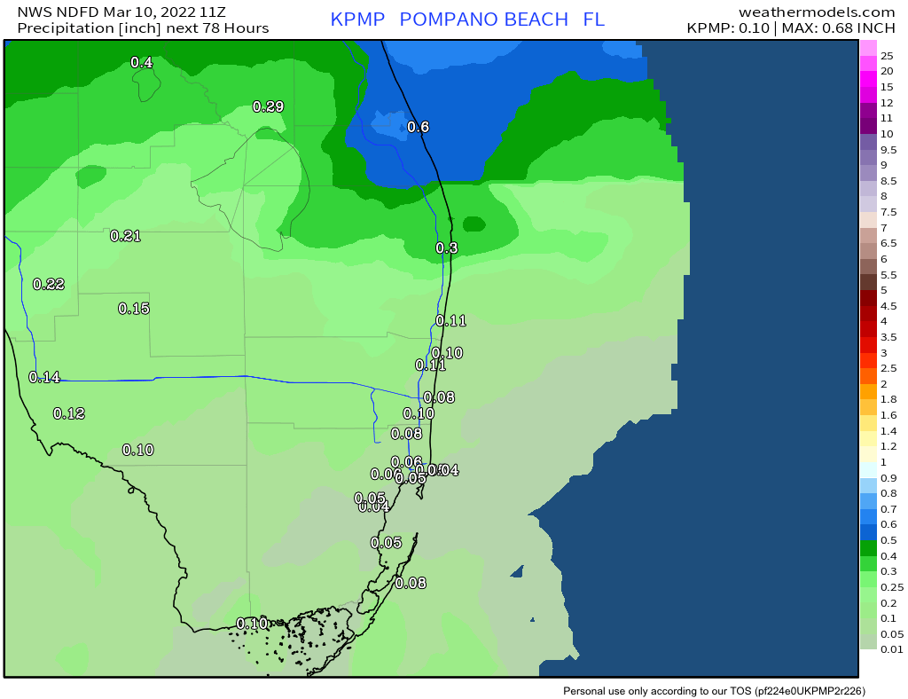
Then we have a cold front that will sweep through the area Saturday afternoon brining rain, possible thunderstorms, much cooler air and lower dew points for Sunday and the start of the new week. Rainfall amounts are not extend to be high, but if we do get a thunderstorm with the passage amounts could be higher than shown here.
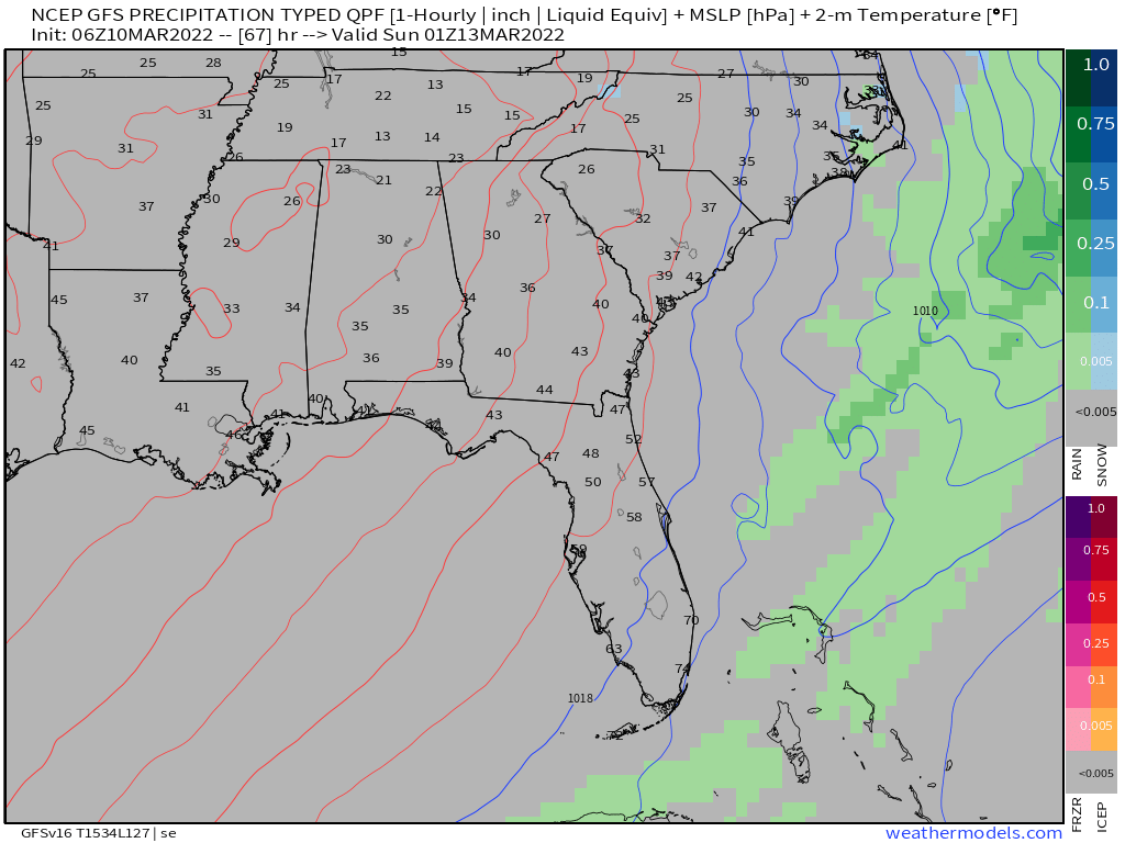
By Saturday early evening the rain will stop, winds will pick up a bit and the cool air will filter in that will give us a wonderful Sunday weather wise. This is a comparison of the GFS and Euro for the timing of the frontal passage.

An update will be out tomorrow.
Discover more from Pompano Weather
Subscribe to get the latest posts sent to your email.
