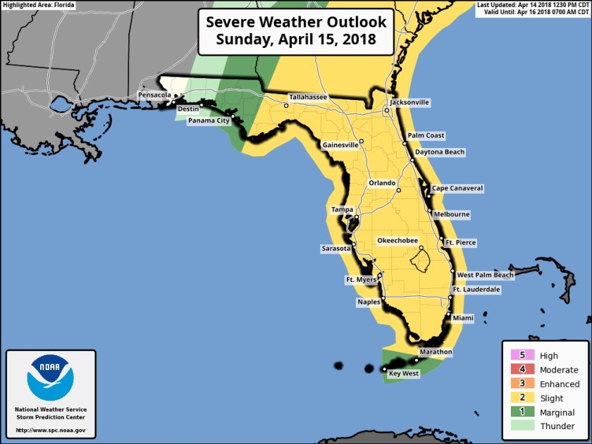
Not much more to say but we have more rain not only today but for the week ahead. Widespread severe weather is not expected but we are in an Flood Watch until 11pm tonight. Some of the activity today could contain lightning and gusty winds. For mariners waterspouts are possible over the local waters. So, again, not the best outdoors day.
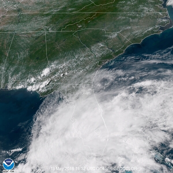
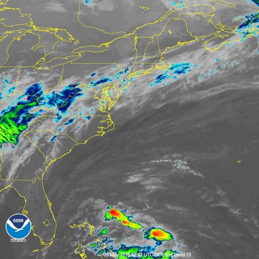
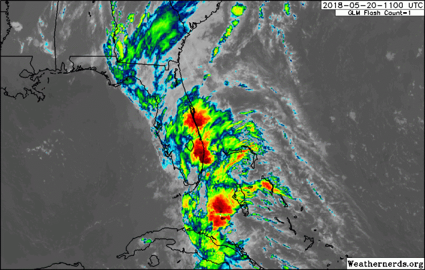
Current radar and satellite show the large area of rain over us now with the satellite image indicating this extends down into the southern Bahamas and Cuba.

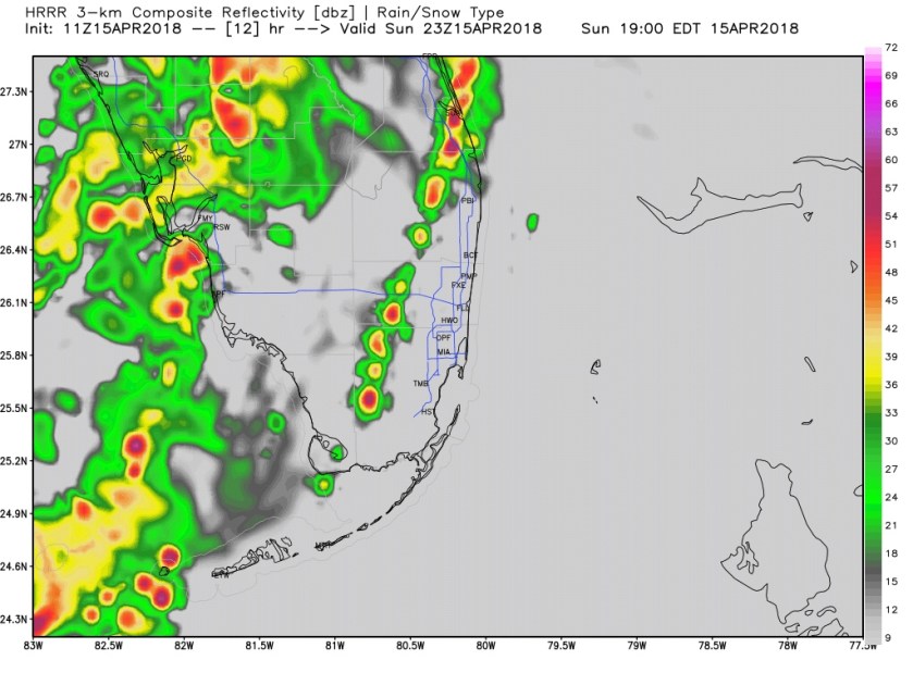
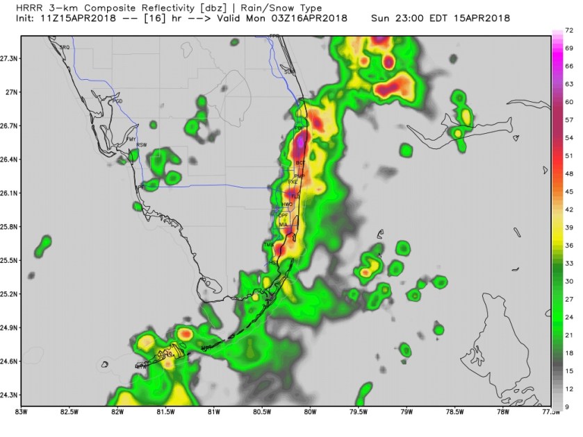
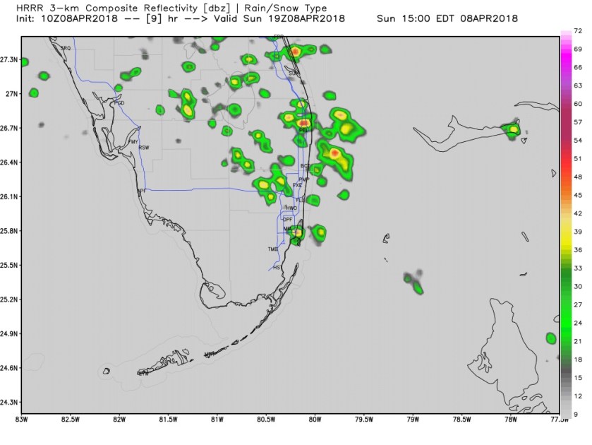
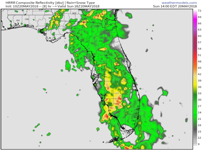
Local high resolution models maintain the rain activity throughout the day, here is the HRRR simulate radar for 3pm today.
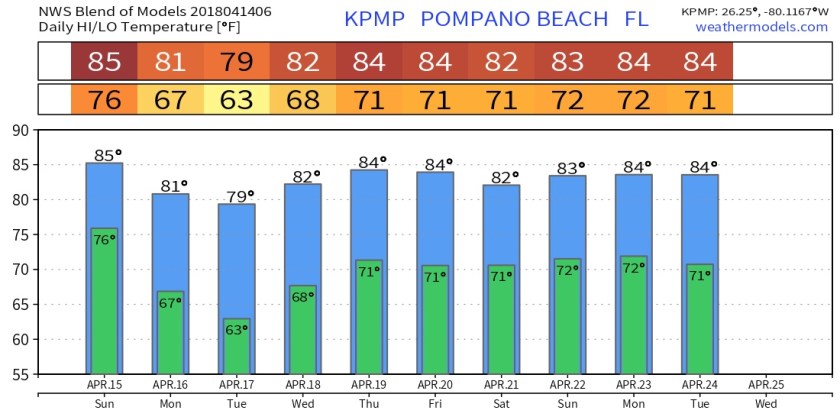
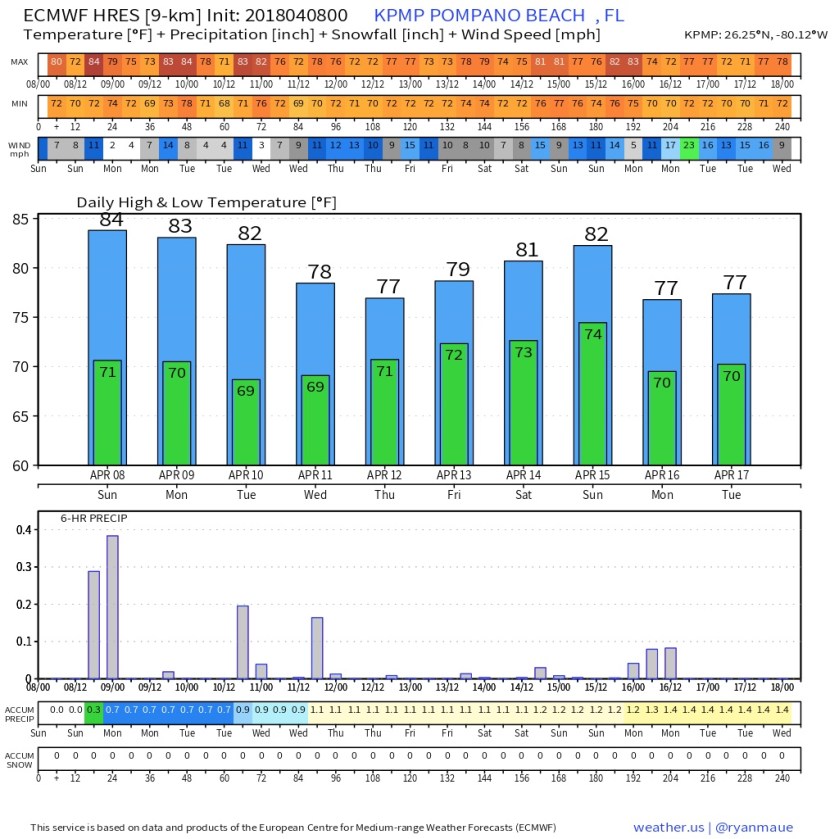
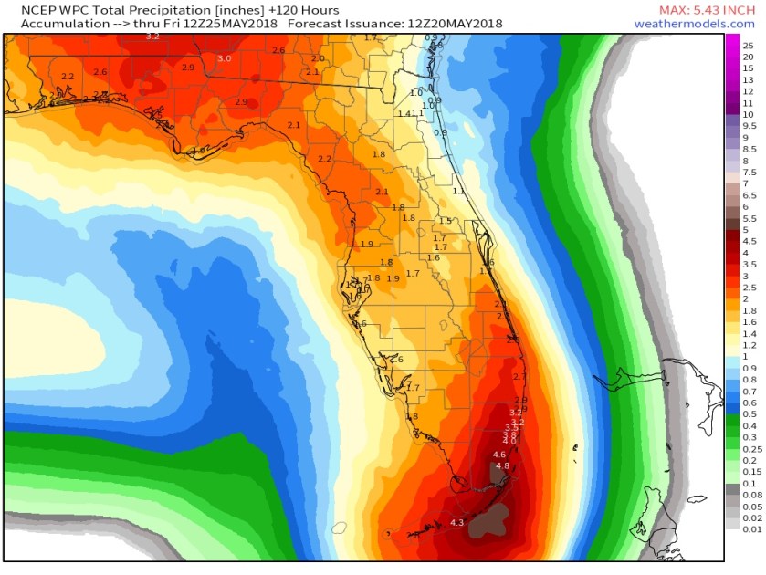
As mentioned rain is on tap for the work week ahead too. Official NWS rainfall forecast for the entire state show moat all areas receiving at least an inch over the next five days with southeast Florida seeing much more.
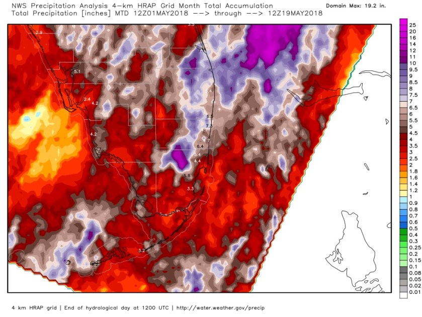
For the month so far (as of yesterday 8am) here are the area totals for rainfall.
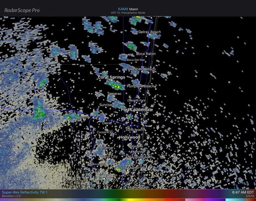
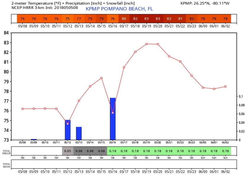
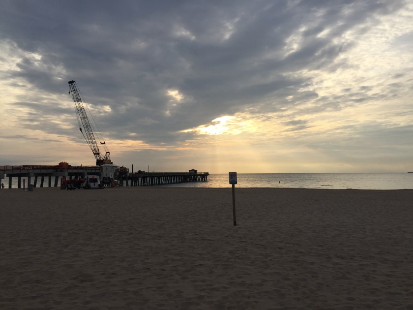
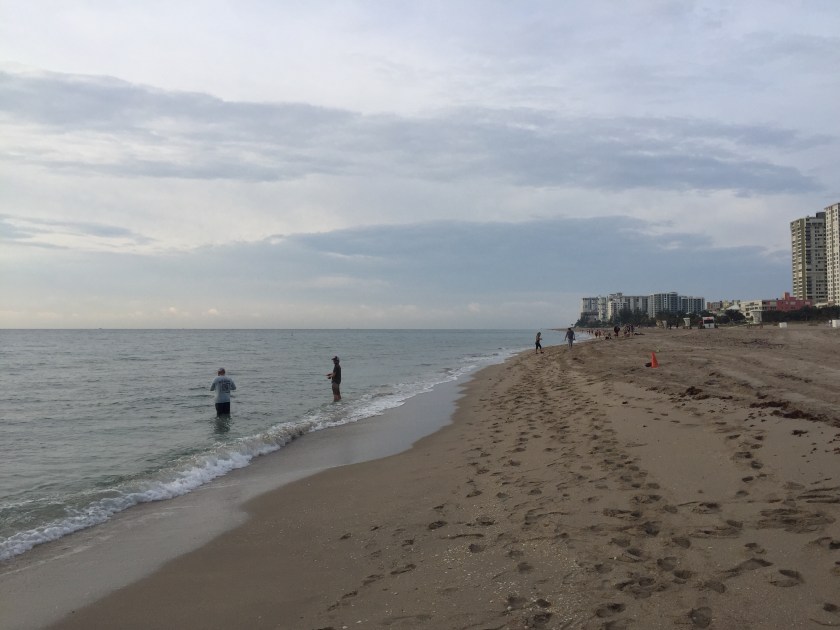
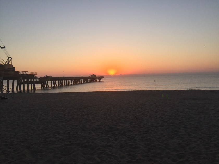
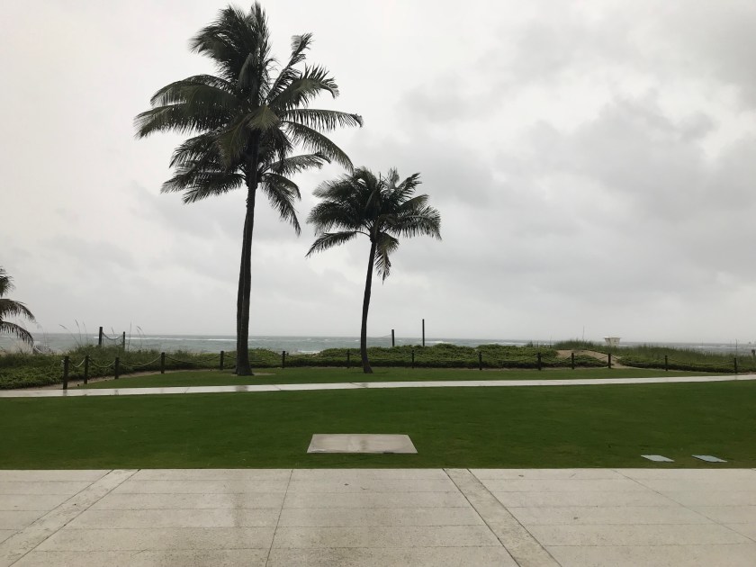
I will post later for our more than likely wet Holiday weekend. Here is another example of the weather outside this morning at Pompano Beach.
Enjoy the wet day!