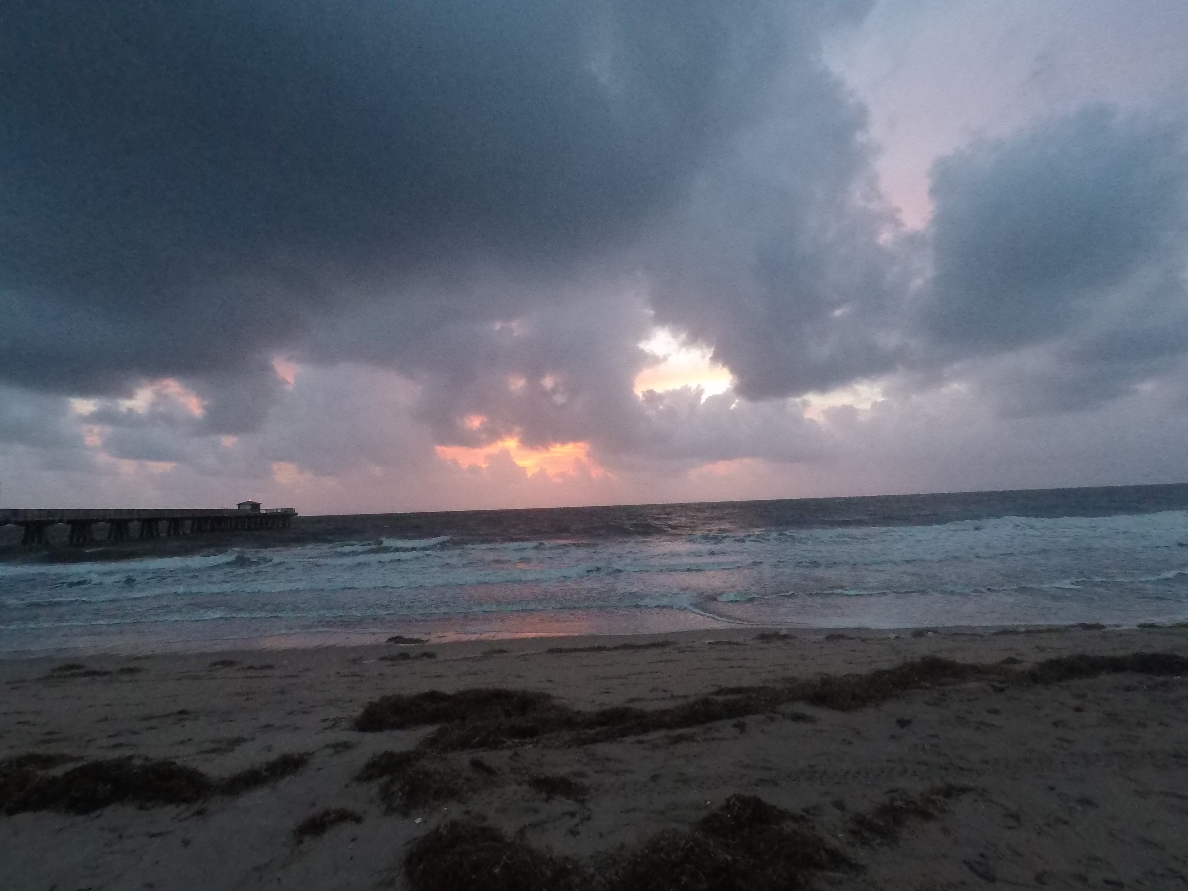
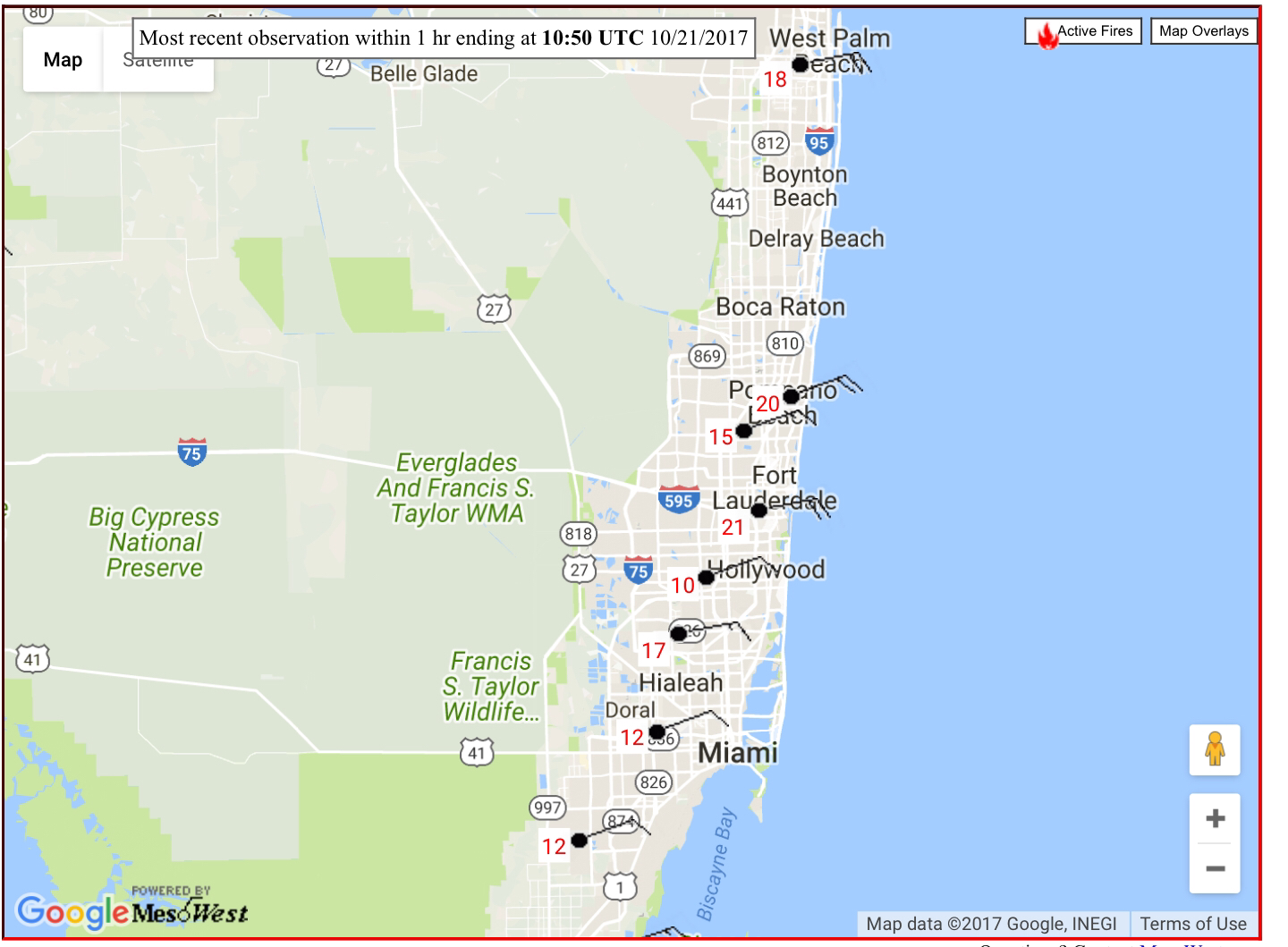
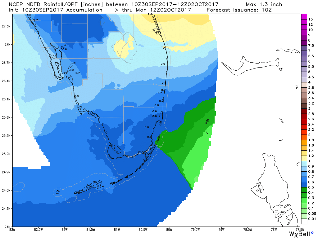
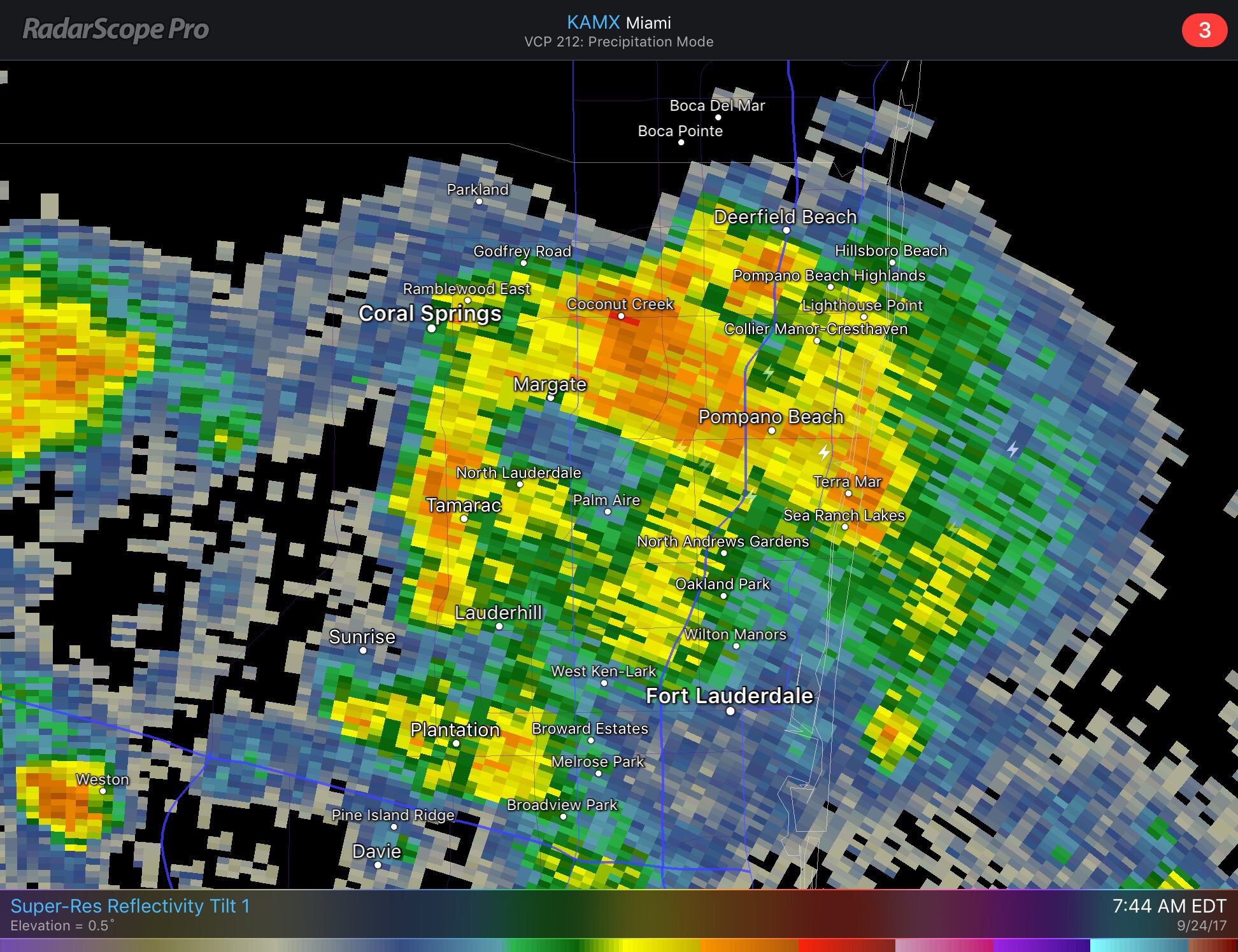
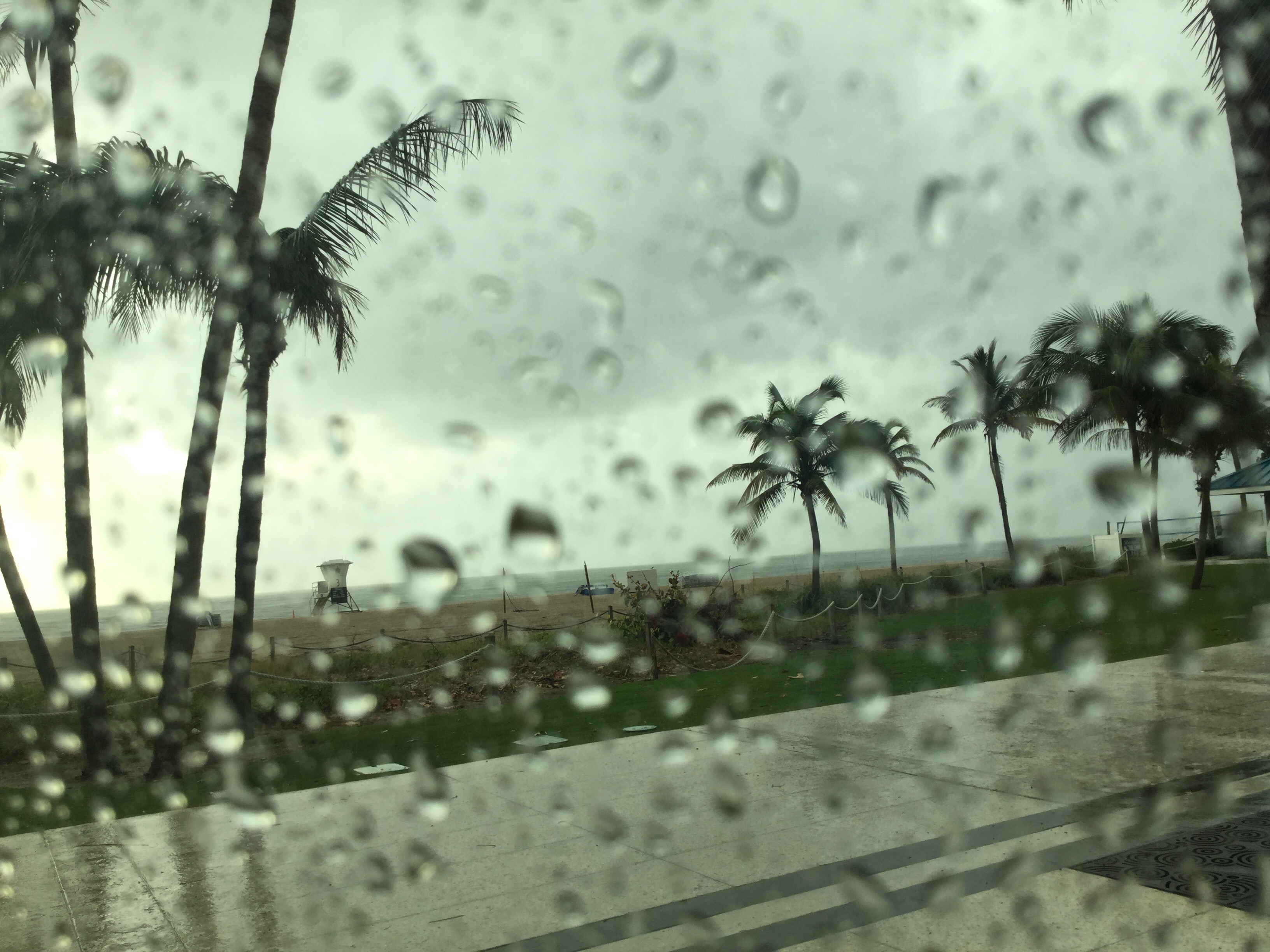
A nice 73F with some showers around this morning. I had nearly a third of an inch overnight and early this morning at my place. Showers are moving towards the SW off the ocean.
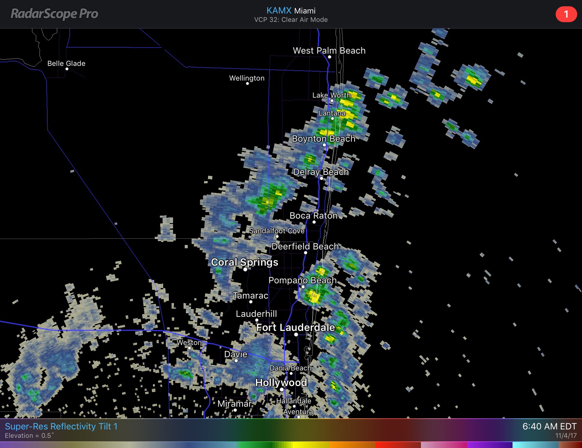
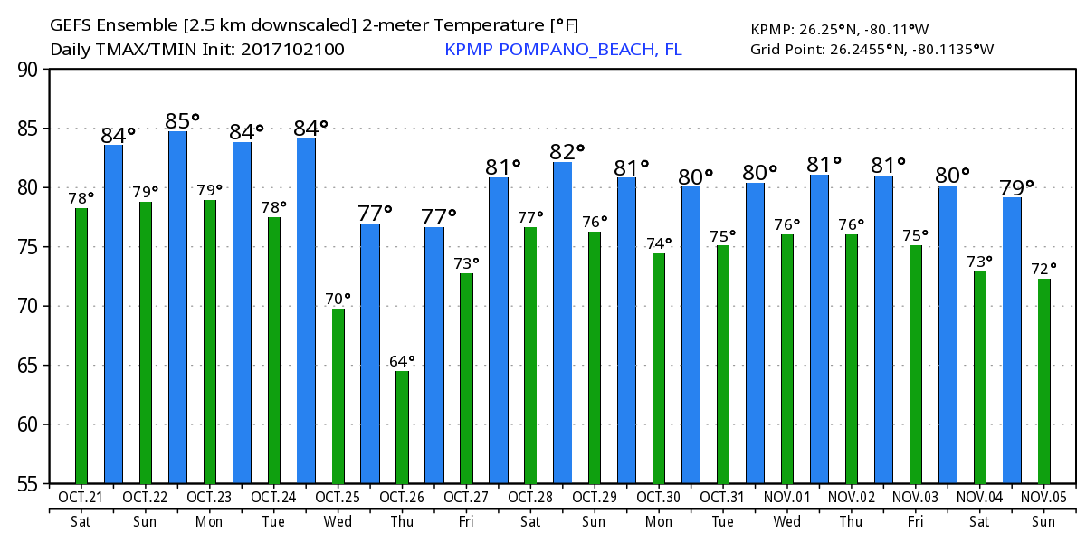
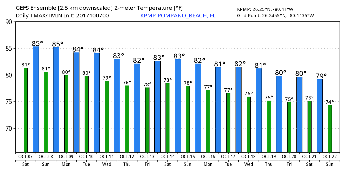
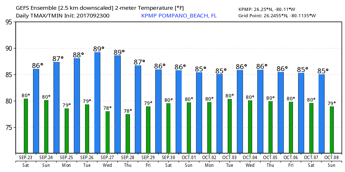
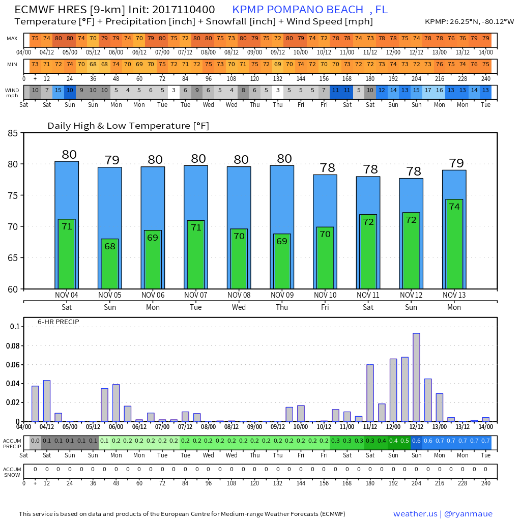
Clouds remain around today but I think we will see fewer showers going into the later morning and afternoon with a high of 85F. Tomorrow we should not see as much in the way of shower activity. Looking into the week we will hold onto a slight chance of showers until late week when a front approaches the area and could stall. Temps will remain the same. Here is the latest graphic from Euro for Pompano from weather.us which is producing some very nice graphics and access to models.
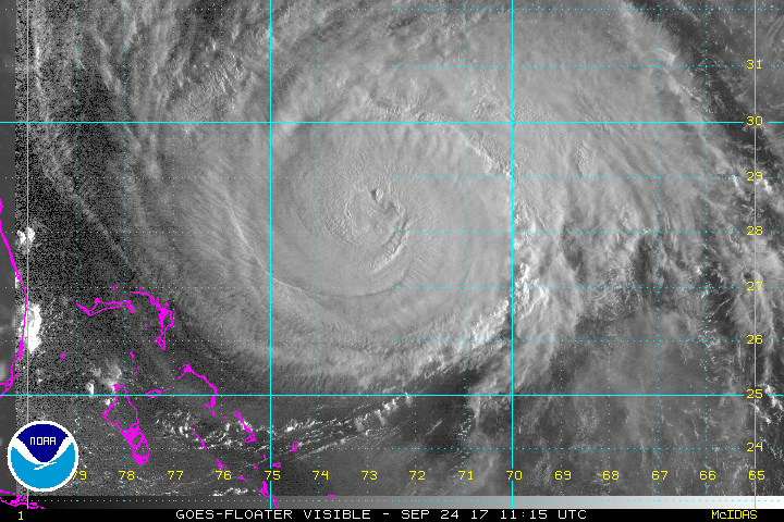
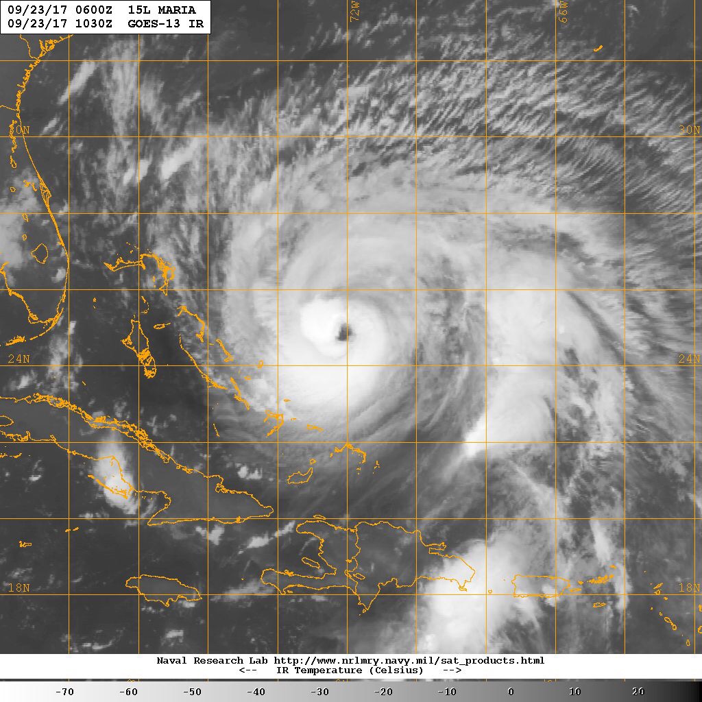
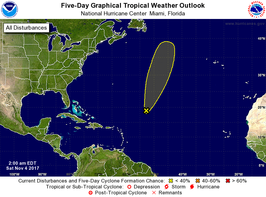
Tropics are not quiet but no concern for us at this time. The one system shown below will not affect us.
Finally set your clocks back one hour tonight as we end Daylight Saving Time. (yeah!)
Enjoy the day.