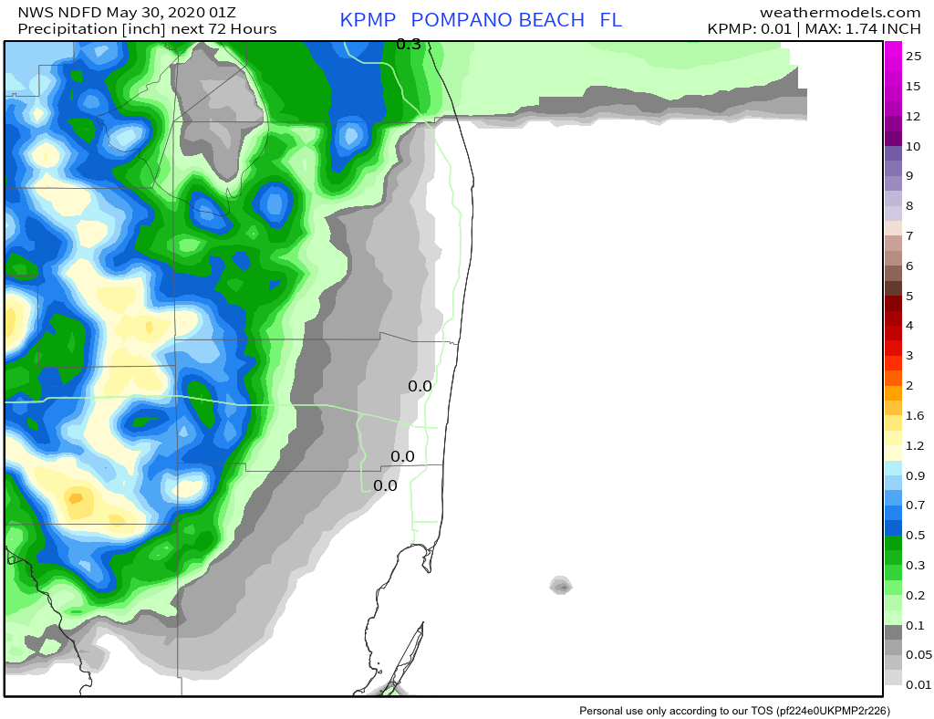
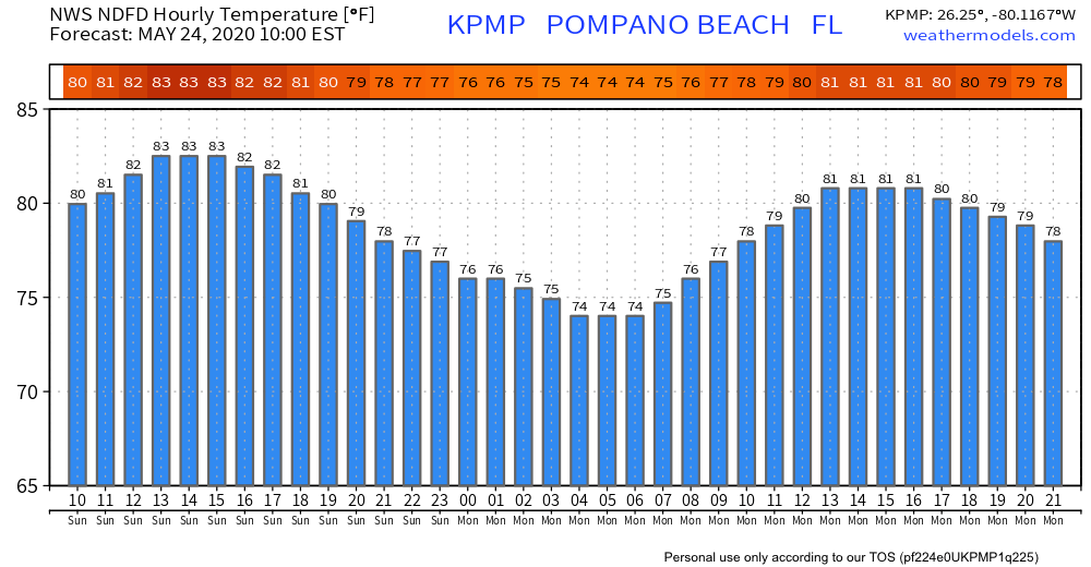
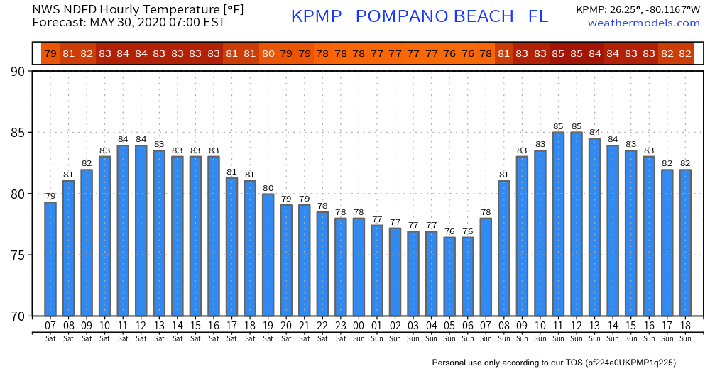
We are in store for a very pleasant weather day with some clouds and warm temps with just a few spotty showers around this afternoon. High today will be 87°. Tomorrow will be much the same with a slightly better chance of rain. Hour by hour temps:
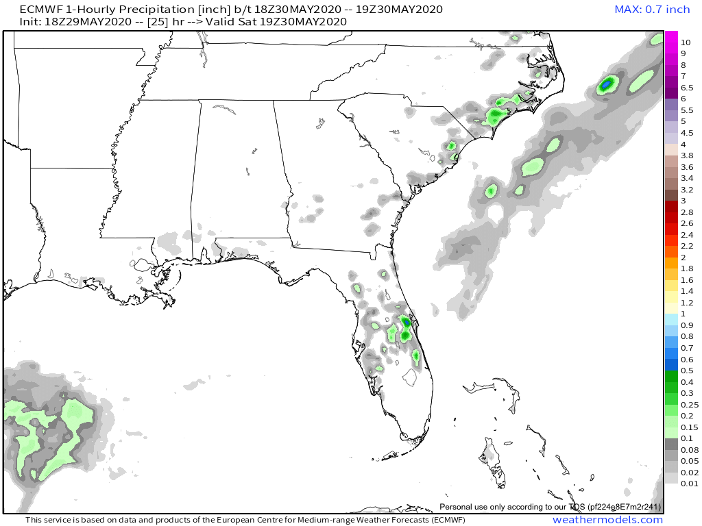
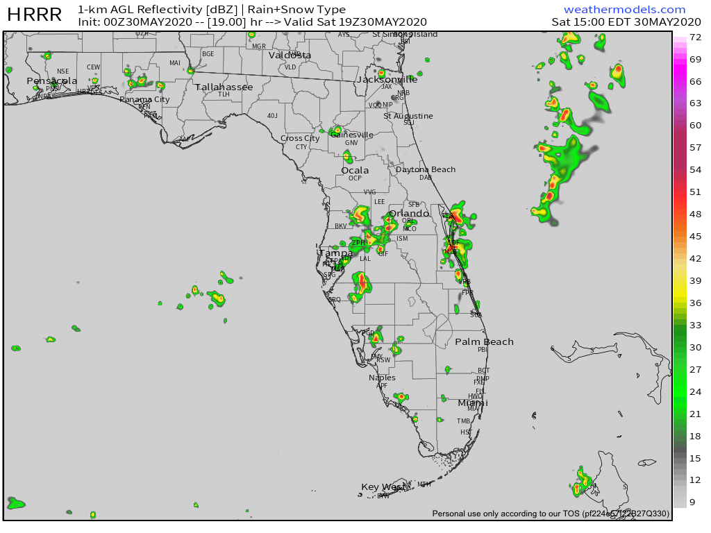
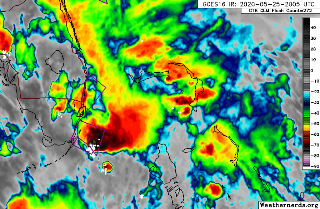
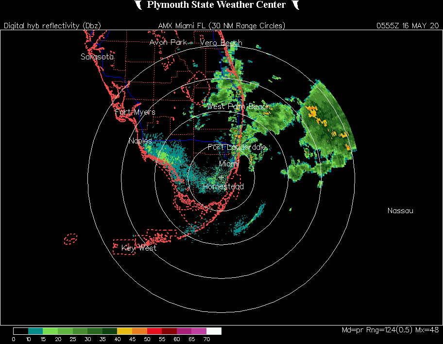
Launch weather to our north does not look as favorable with rain associated with afternoon convention around that is likely to hamper the launch this afternoon. Both the Euro and HRRR show rain around 3pm.
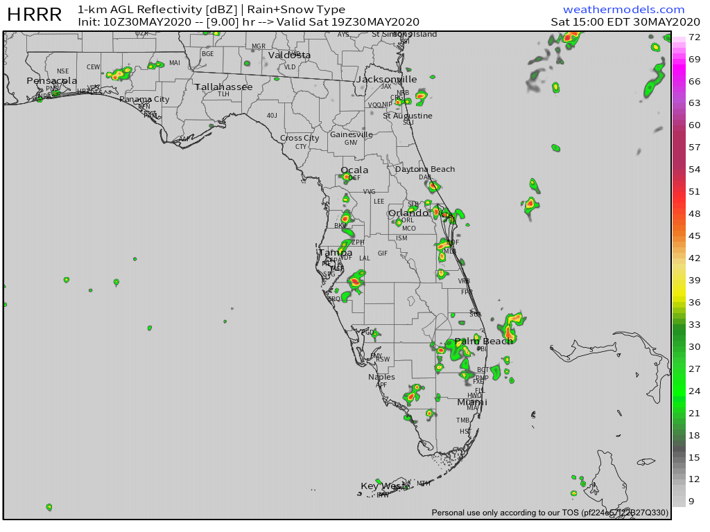
The official NWS forecast at 3pm is not encouraging at all for Cape Canaveral. Calling for a likely chance of rain and thunder before and after launch time.

Finally for this morning, still watching the tropics as a disturbance in the Atlantic looks a bit better organized this morning but it appears some dry air in the area may inhibit development. Currently the NHC gives it a medium chance of development over the next five days. Regardless this will not impact Florida.
I will try to update Twitter later with launch weather updates.