
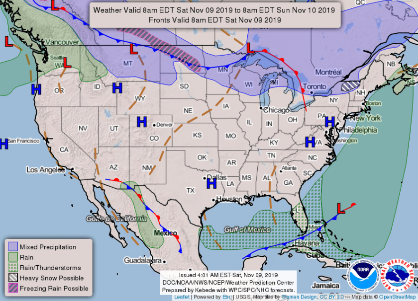
After running with above a average temps for most of the past month we will have a string of closer to normal highs for the next week. A cold front is draped across Florida this morning with plenty of clouds and some showers across central and south Florida. At 5am temps across southeast Florida are in the mid 70s. Sensors at Pompano Airpark have been having issues this week and not reporting regularly.

By 8am the boundary will be over south Florida with our main rain threat occurring between 10am and 3pm.
After the front passes winds will shift out of the north and we will feel drier and some cooler air. Combine that with the clouds earlier on we may not exceed 80° today. Expect a high of 79° this afternoon, here is the hour by hour temperature through tomorrow afternoon.
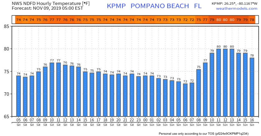
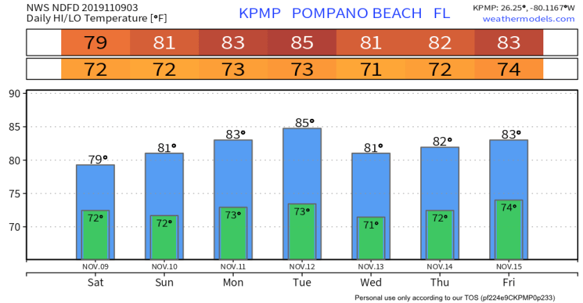
By tomorrow we will be back to around 80° for a high and very pleasant. Another front is expected next week and that will help keep our high temps closer to normal for the next five to six days.
Discover more from Pompano Weather
Subscribe to get the latest posts sent to your email.
