Certainly a cloudy, humid morning to start our weekend while we are under a Flood Watch through at least this evening. Rain threat is indirectly caused from Tropical Storm Cristobal in the central Gulf of Mexico.
Cristobal is a lop-sided storm with dry air on the west side and all the moisture and wind on the east. Activity will move from Cristobal towards Florida. Current radar shows most of this activity not quite making it over to the east coast but there is plenty of moisture and with daytime heating we may see showers and thunderstorms especially this afternoon and evening.

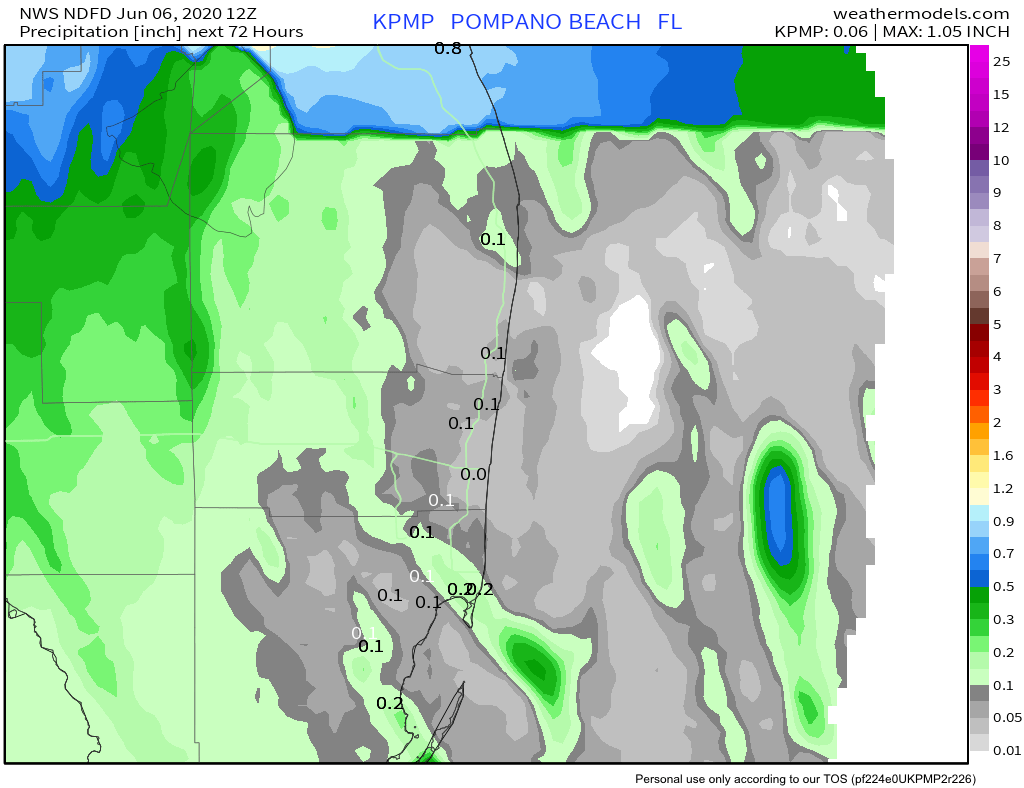
Though forecasted rainfall amounts are not high, it would not take much above these values to caused localized flooding in south Florida. This is why the Flood Watch is in effect, even though most areas around Pompano are expecting less than a quarter of an inch.
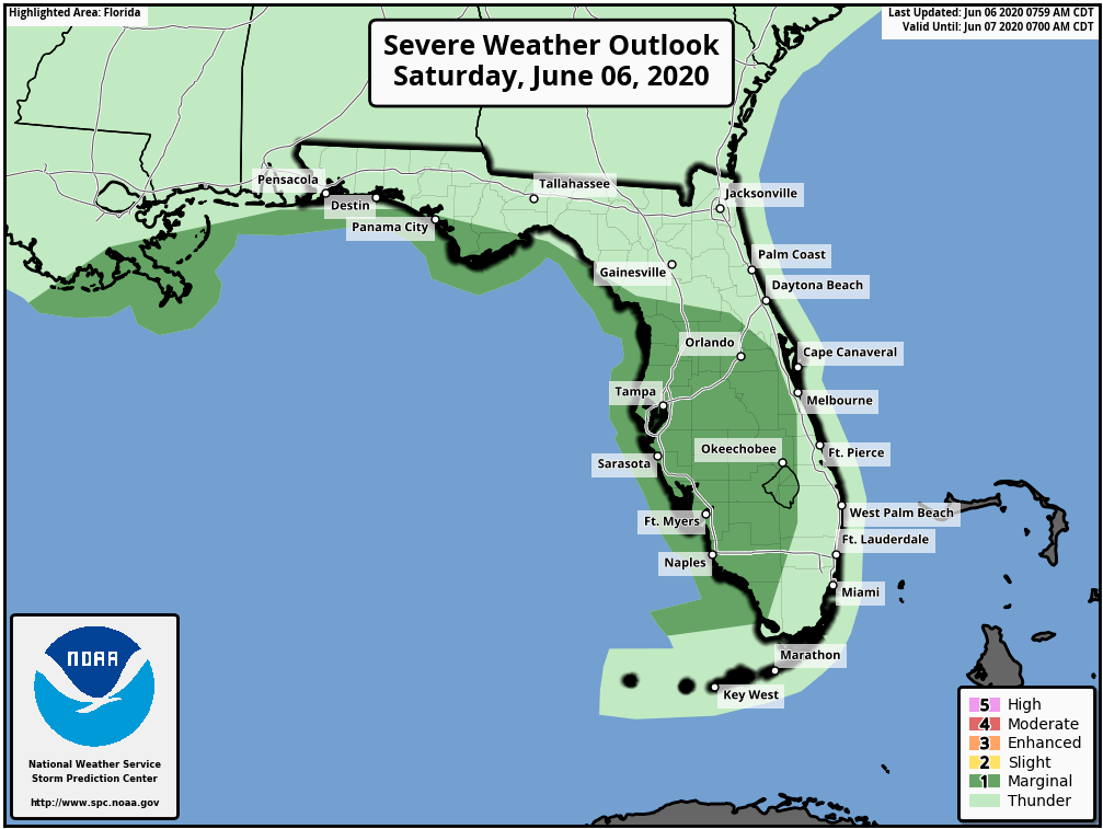
Thunderstorms are also possible today and areas to our west do have a Marginal chance of severe weather. I will be watching this today and will update if the severe weather chances are bumped up for the east coast.
Temp wise we are looking for a high of 84° with the before mentioned clouds and winds picking up a bit. Overall not feeling too bad out there even with dew points around 75°.
Enjoy the day!