
Good morning, a few notes for the weather today and this weekend. Today we will see the start of a wet pattern across the area as a cold front to our north slowly creeps down the state and then stall over the weekend around the Lake area. We will warm and humid today with highs in the upper 80s and dew points in the 70s. A combination of these items will allow showers and some thunder storms to develop later today and then become more numerous over the weekend,
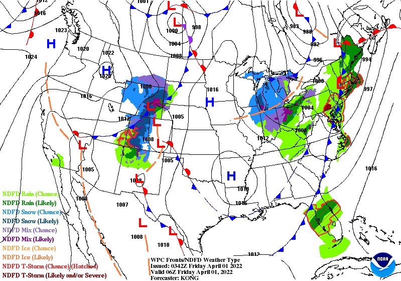
Saturday and Sunday we could see a severe weather threat across Broward and Palm Beach counties with the Storm Prediction Center placing us under a Marginal (level 1 of 5) risk of severe weather. For today the risk exists mainly to our north and to the west.
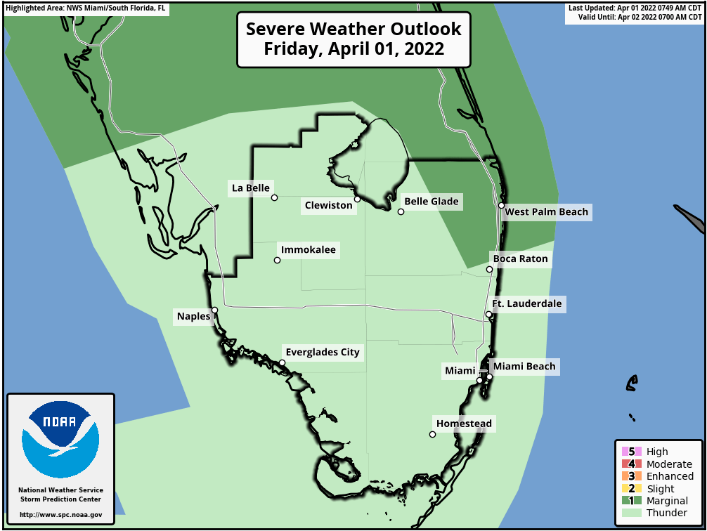
I will have an update later today to be more specific with the overall rain threat and severe weather possibilities.
Discover more from Pompano Weather
Subscribe to get the latest posts sent to your email.
