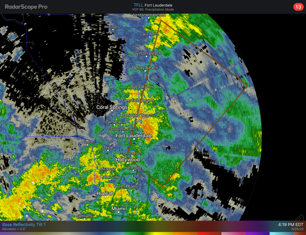
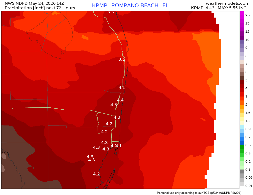
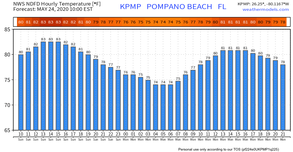
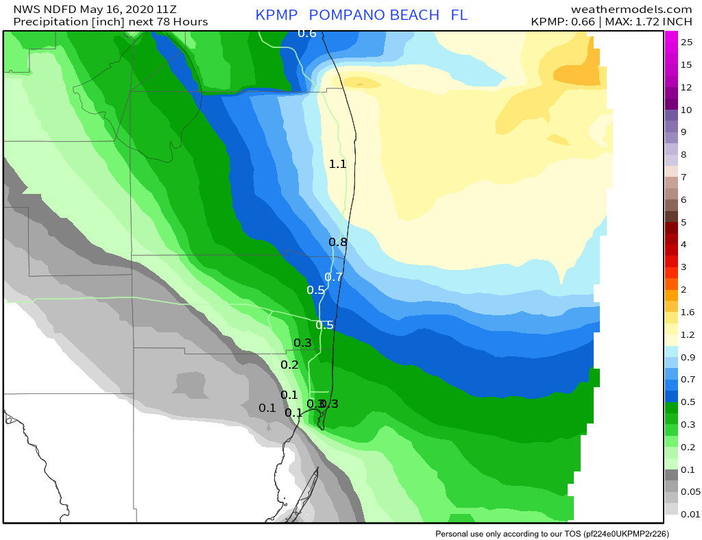
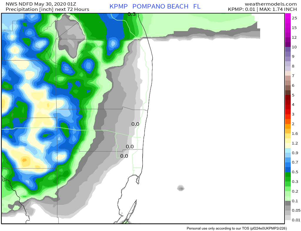
After a couple of rainy weather weekend we are in for a change as most of the coastal areas of Broward and Palm Beach counties should be rain free through the weekend. There will be a mixture of clouds and sun with highs on Saturday 87° after a low of 78°. NWS rainfall map for the next three days.
I have had a few questions about tomorrow’s launch forecast for SpaceX Falcon 9 Dragon Crew Demo-2 and it looks quite iffy. NASA currently give a 50% chance of permissible weather with the weather threats being rain and rules not allowing flight through cumulus clouds and anvils.
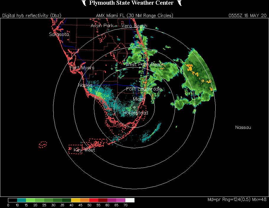
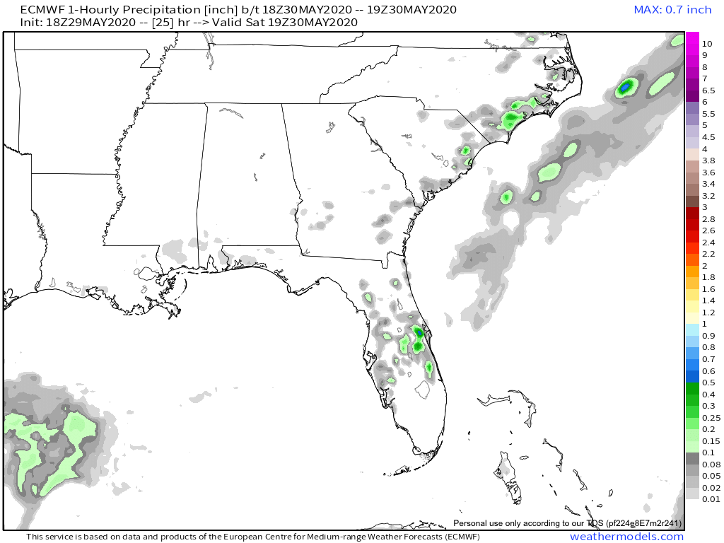
Latest EURO shows rain in the general area mid afternoon tomorrow.
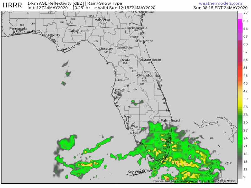
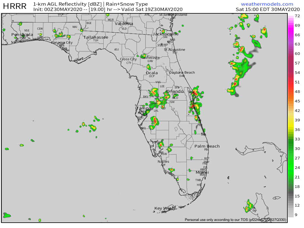
The latest HRRR predictive radar also indicate rain in the east Central Florida area.
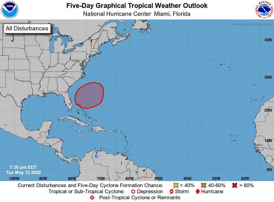
I will post an update in the morning with the latest data and also more on the tropical disturbance being monitored in the Atlantic, that is not a threat to our area.

Have a good evening.