11/7/22 – Subtropical Storm Nicole 10pm Advisory – Tropical Storm Warning and Hurricane Watch in Effect for Broward

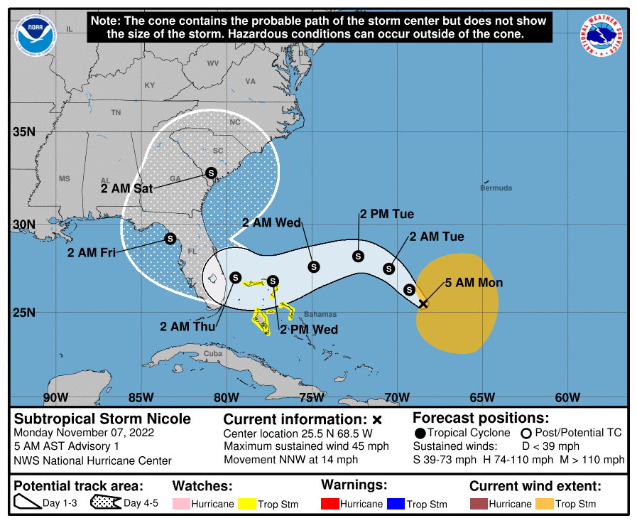
As of 10PM Nicole is slowly becoming better organized and is still expected to directly impact Florida’s east coast. With this advisory, a Tropical Storm Warning has been issued for a large part of the Florida east coast, including Broward county. The Hurricane Watch remains in effect.

Winds remain at 45 mph and the minimum pressure is 998 mb. Strengthening is expected tomorrow. There is little change to the forecasted track and intensity with this advisory.

For Broward and Palm Beach counties, the timeline remains with the approach of Nicole on Wednesday with increasing winds and more frequent rain. Wednesday night and early Thursday morning will be the peak of the conditions, then slow clearing Thursday afternoon and into the evening. This is still fluid and may change.

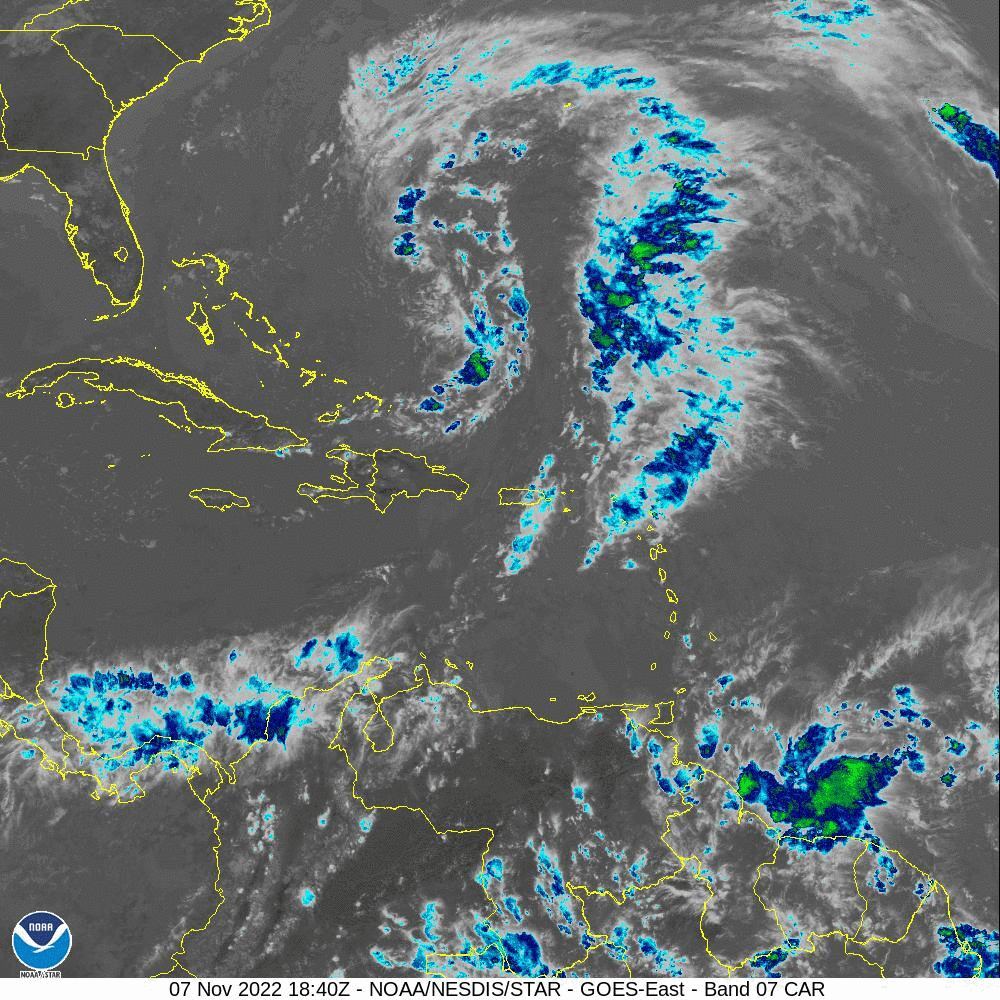
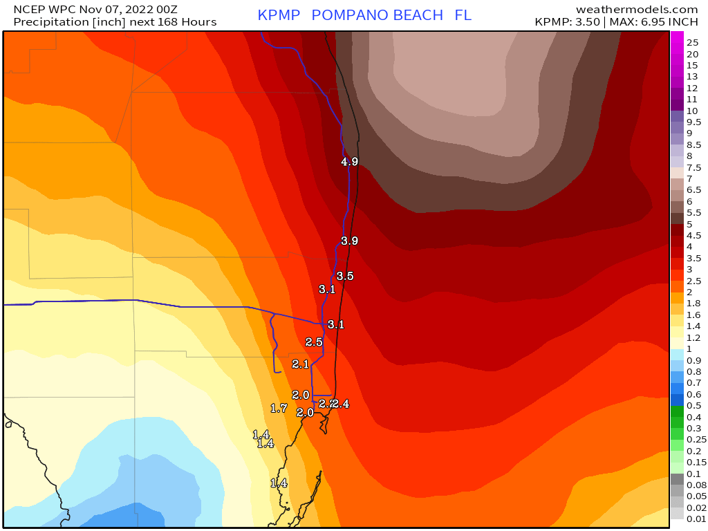
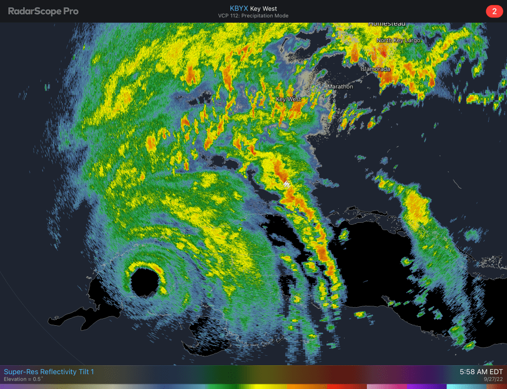
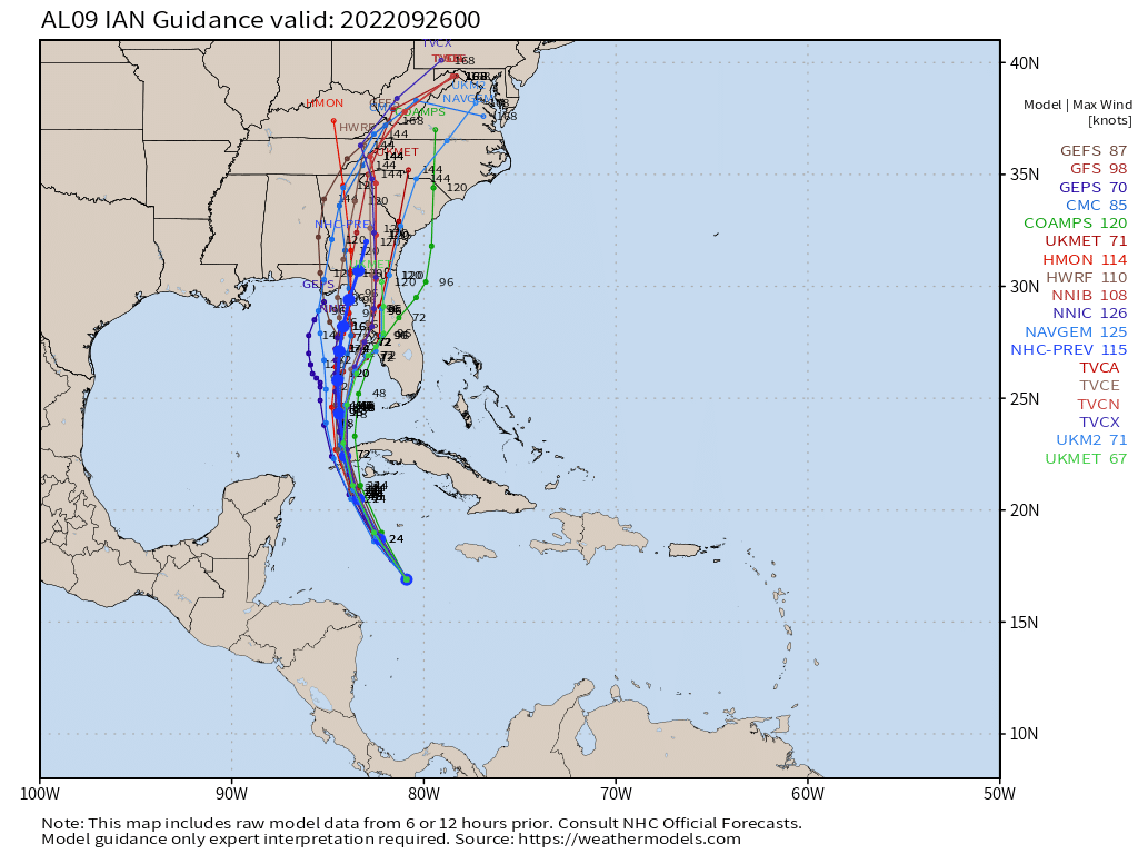
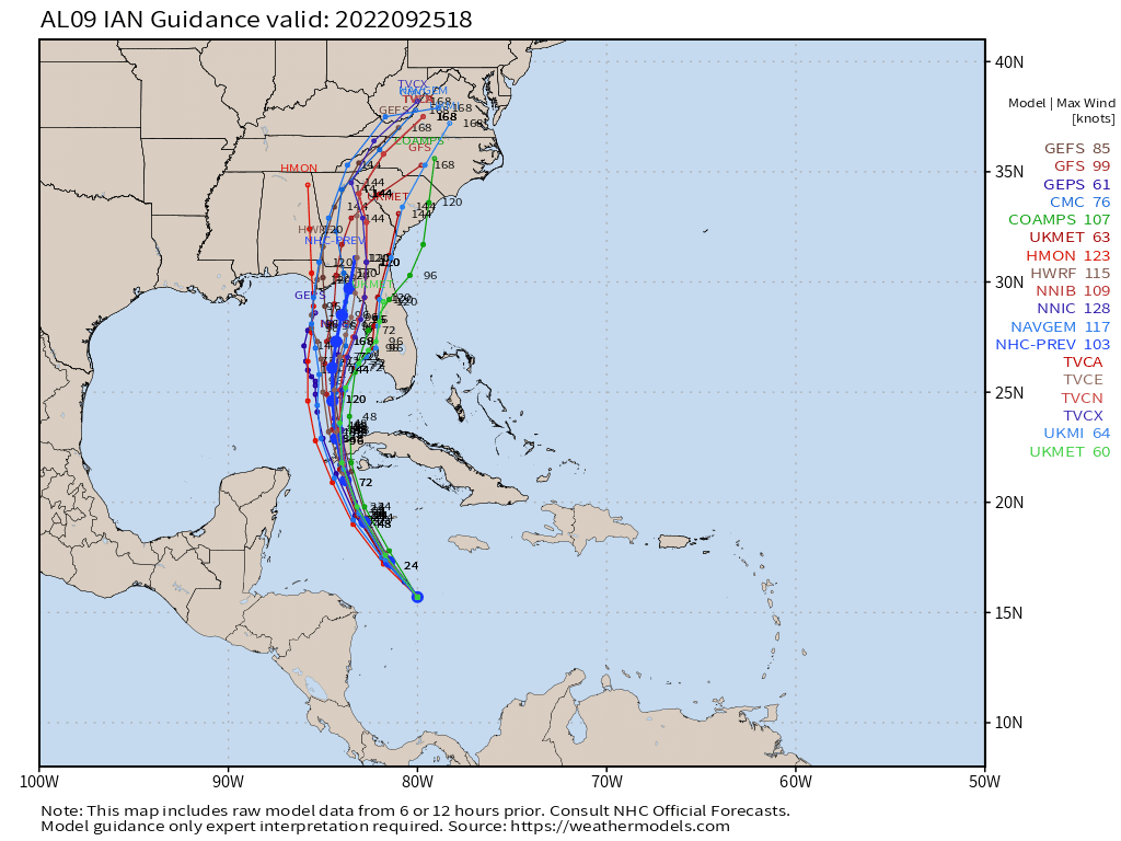
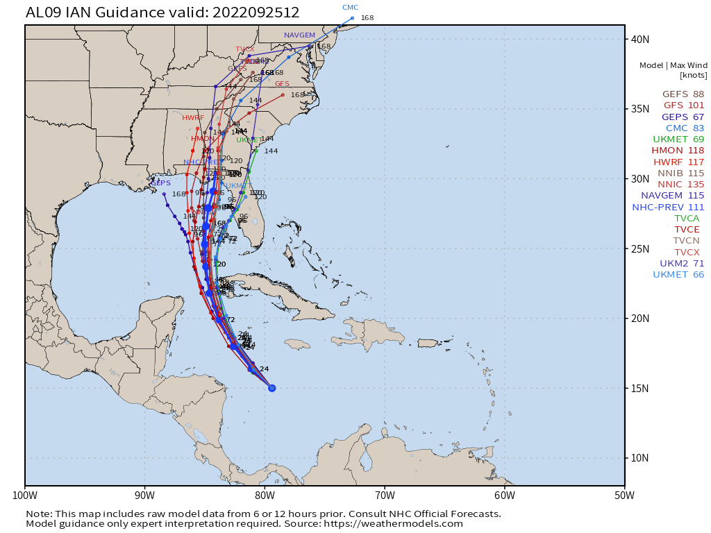
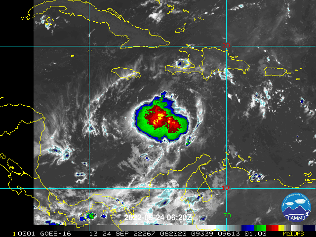
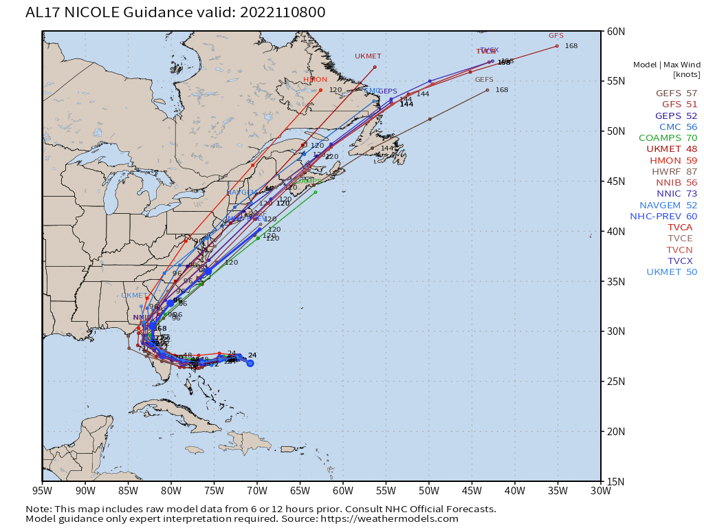
The latest satellite image is above, and this evening’s models are below.

I will Tweet the latest information tomorrow as Nicole transitions into a tropical system and the latest development with the storm.

Advertisement

11/7/22 Subtropical Storm Nicole Forms

Subtropical Storm Nicole has formed from the system I posted about last night. Max winds are 45 mph. Tropical Storm Watches have been issued for parts of the Bahamas. I would expect watches or warnings to be issued for parts of south Florida later today or tomorrow morning.

Impacts have not changed, strong gusty winds and rainfall up to five inches will affect the area starting late Tuesday through Thursday.

I will post updates through the day on Twitter and another post here this evening.

First advisory on Subtropical Storm Nicole.

11/6/22 Tropics Are Not Quiet – Wind and Rain Mid to Late Week for South Florida

Generally in November we do not see much activity, but this November has been different with just first the six days. We have had two hurricanes in the Atlantic, Lisa and Martin, and now we are expecting development of the system designated 98L.

With that said, we can expect rain and wind mid to late week. Expected conditions include sustained winds up to 30 mph and gusts to 45 mph (tropical storm force) along with rainfall totals of up to four inches.

This forecast will be refined as we go into the week, please stay tuned and check back. On to the graphics.

Area number one is the one we are watching for Florida impacts mid to late week.
Latest models from 7pm tonight. The models are in good agreement on the path, but we need to see if this track is maintained as the system develops.
Latest rainfall forecast through Sunday.

I will have an update Monday morning and may update via Twitter later this evening if needed.

9/27/22 – Tropical Storm Watch Issued for Parts of a Broward and All of Palm Beach

Due to the possibility of sustained Tropical Storm winds (39 to 73 mph) are now possible for parts of Broward and all of Palm Beach counties. In summary, Boca Raton north and roughly the western half of Broward.

Watch/Warning map for south Florida

Additional changes in the watches and warnings are possible as we go through the day.

Below is the latest advisory graphic and the latest radar image from Key West where we can now see the eye over western Cuba

9/25/22 – 11pm Work Week Forecast, Ian Impacts

Focusing on the impacts we can expect this week with Ian’s path approach to Florida’s west coast. Here is the summary of what to expect Tuesday through Thursday.

  • Rainfall: 3-8 inches, locally higher in some areas
  • Winds: 15-25 mph sustained, gust to 40 mph in stronger storms
  • Tornadoes: short-lived tornadoes possible Tuesday/Wednesday

Latest models from tonight show little change and are tightly clustered for the first 48 hours

9/25/22 8pm models

Latest advisory graphic:

9/25/22 – 2 PM Ian Update and What to Expect This Week

As of 2pm Ian remains a 50 mph tropical storm that is expected to strengthen rapidly.

2 pm advisory for Tropical Storm Ian.
2 pm model runs.

For this week, if there are no significant changes in the course of Ian, we will see plenty of rain. Current forecast is for seven inches in northern Broward with higher amounts possible.

Rainfall forecast through late Friday night.

With the rain there will be squall lines that will produce heavier rain for a period of time. Localized flooding will be likely. The other threat will be the possibility of tornadoes. The Storm Prediction Center has the area under a Marginal risk for Tuesday.

These aspects will continue to be fine tuned as Ian approaches.

9/25/22 Tropical Storm Ian Expected to Strengthen, Rain Will be Biggest Threat at This Time

With the 11am advisory this morning Ian is a 50 mph Tropical Storm. Overall, the forecast track has not changed much with only a very slight shift to the east. All of the southeast Florida area are outside of the cone.

11am Advisory from Tropical Storm Ian

Model consensus remains steady and generally consistent with the forecast track. The European model is a bit east of the tropical models below while the GFS is west of the Euro.

8am models.

I will have a breakdown of expected conditions later this afternoon.

9/24/22 Weekend Forecast and Tropical Storm Ian

In Pompano we are starting the day off at 81° with a dew point of 75°. Today we will see morning clouds followed by a very good chance of showers and some thunderstorms, mainly between 2pm to 8pm. Some of these showers will be slow moving and could produce localized flooding. Tomorrow we are likely to see a few more showers but they will not be slow moving. Today’s high will be 91°.

Last night TD9 was upgraded to Tropical Storm Ian. Most of Florida remains in the cone, the area that the center of the storm may travel over in the next five days. There has been some general consensus with the models with a slightly more westward track. Regardless, all of us should continue to monitor Ian for updates. Here is the latest advisory map and official forecast, model tracks, and rainfall totals for the next week.

As of this writing, rainfall will be our primary threat from Ian on the SE Florida coast with rainfall totals between five and eight inches possible.

I will post updates through the day on Twitter @PompanoWeather

9/23/22 Weekend Outlook, Tropical Depression 9 Forms with Florida in the Cone

Eyes are on Tropical Depression 9 that was upgraded this morning at 5 AM with most of Florida in the cone. A few items to keep in mind:

  • Too early to say that Florida will be affected
  • Too early to say what impacts this system will have
  • Use today and the weekend to get supplies you do not have and make plans IF the system were to go this way.
  • Finally, stay calm. The forecasts will become more refined as we go through the weekend. Always check in with the National Hurricane Center site for official information.
5 am advisory on TD9.

For today and the weekend: today will be mostly dry and typically warm with a high of 90°. Showers and thunderstorms return tomorrow and Sunday with highs of 90° and lows of 79°.

Beyond Sunday our weather will be dependent of the track and intensification of TD9. It is very likely that TD9 will become a Tropical Storm later today or tomorrow.

TD9 and it’s location to Florida.

Models are clustered showing agreement in the flyer track, but this may shift some due to the evolving storm structure and where the actul center forms.

2 am ET model runs.

As of now, one thing we will likely see is rain. Regardless of where the center goes, most of Florida will get rain. The latest seven day rainfall forecast indicates plenty of rain for all of south and central Florida.

WPC seven day rainfall forecast.

I will have an update later this evening. Follow on Twitter for updates at @PompanoWeather

9/3/22 – Nice Labor Day Weekend Ahead, Hurricane Danielle and TS Earl No Threat

As usual this time of year we are already hovering around 90° with dew points between 73° and 75°.

11am temps and dew points.

We have had some drier air work into the area overnight and this will help keep our rain chances down through the Labor Day weekend. Showers and a few thunderstorms are possible but not to the extent we have seen over the past week. The dry air can be see on water vapor imagery (in brown on this image).

Water vapor imagery from 1035 am EDT.

Highs today will be around 92° with our lows hovering around 80°.

Tropics have picked up in activity with no threats at this time to the area. Hurricane Danielle is in the North Atlantic and newly formed Tropical Storm Earl north of the Leeward Islands. The 11am advisories and maps are below.

Follow on Twitter for updates @pompanoweather through the weekend.